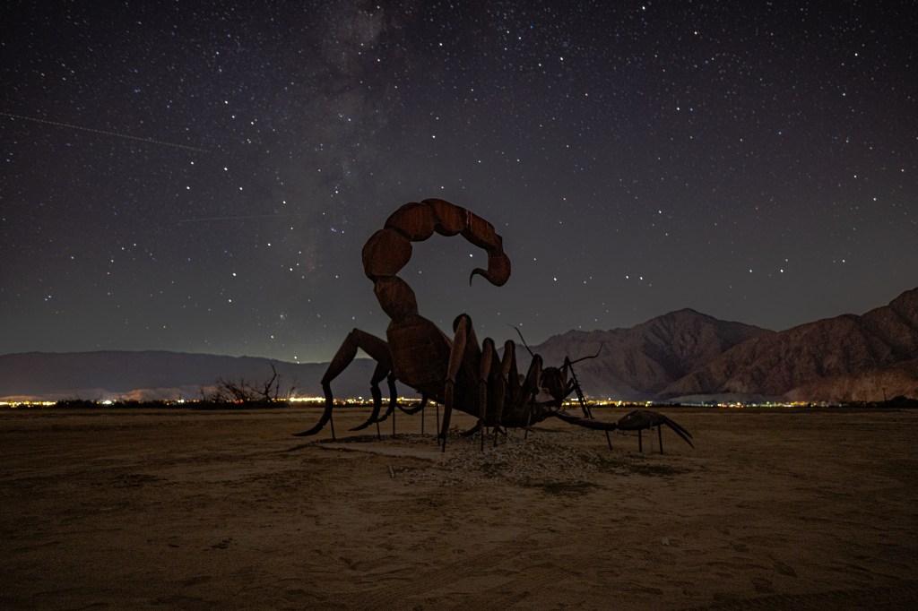
Located two hours east of San Diego, Anza-Borrego Desert State Park feels like stepping onto another planet. With its vast open spaces, rugged badlands, and springtime wildflower blooms, it’s a destination that perfectly captures California’s wild desert beauty.
Named after Spanish explorer Juan Bautista de Anza and the Spanish word borrego (for “bighorn sheep”), the park is the largest state park in California—covering over 600,000 acres of desert terrain. Whether you’re chasing sunrise photos, exploring slot canyons, or searching for the iconic metal sculptures scattered across Borrego Springs, this park has something to inspire every adventurer and photographer.
🌄 Getting There
From San Diego, take I-8 East to Ocotillo or Highway 78 through Julian. The park’s main visitor center is in Borrego Springs, where you can pick up maps, check wildflower updates, and get advice from rangers before heading into the backcountry.
🌼 When to Visit
The best time to explore Anza-Borrego is from late fall through early spring, when daytime temperatures are mild. If you’re lucky enough to visit during a superbloom year (usually March–April), the desert floor comes alive with carpets of wildflowers—purple sand verbena, yellow brittlebush, and desert lilies turning the landscape into a sea of color.
🐏 Wildlife and Nature
Anza-Borrego is home to the elusive desert bighorn sheep, as well as roadrunners, hawks, lizards, and jackrabbits. In the cooler months, keep your eyes on the rocky hillsides—you might just spot a borrego blending into the terrain.
📸 Tips for Photographers
Golden hours are magic: sunrise at Fonts Point, sunset near the sculptures.
Bring a tripod for astrophotography—Anza-Borrego is a certified Dark Sky Park, offering some of the best night skies in Southern California.
Mind your tires: dirt roads can get soft; check road conditions before heading out.
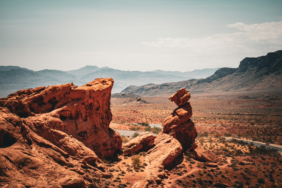
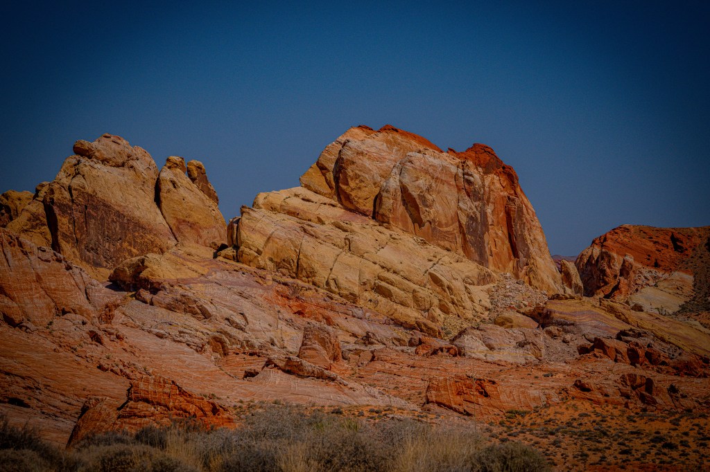
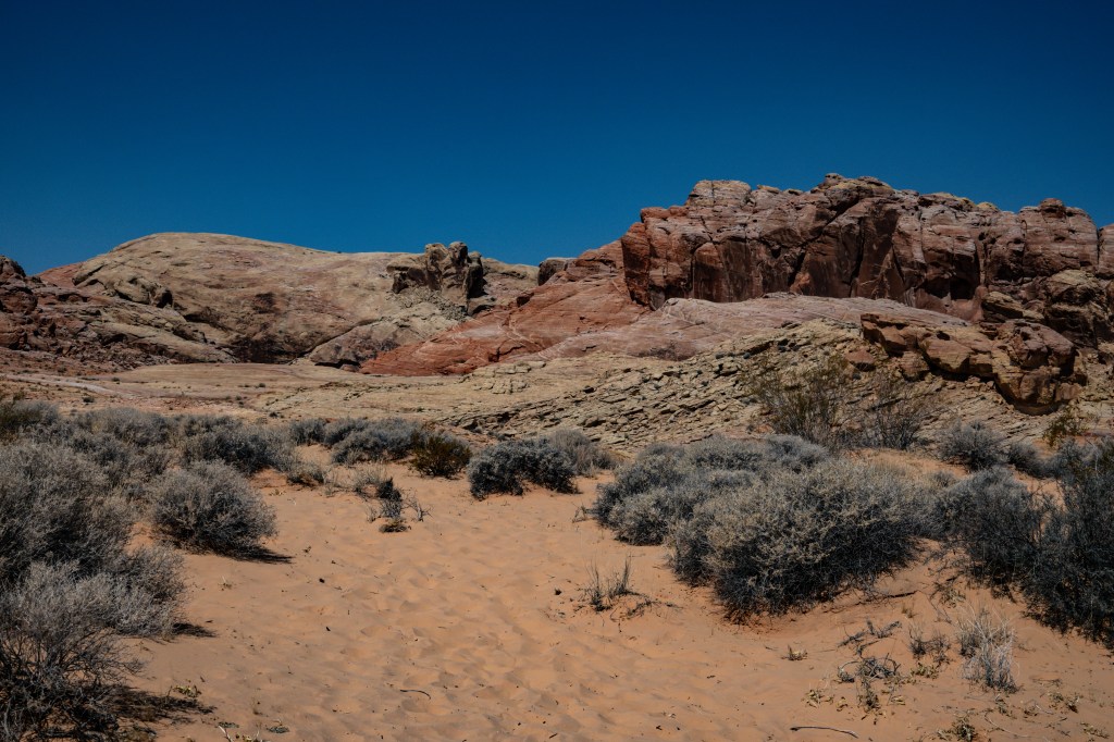
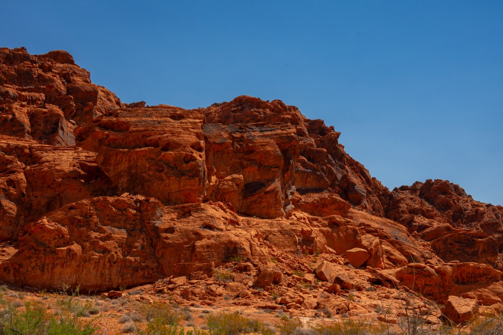
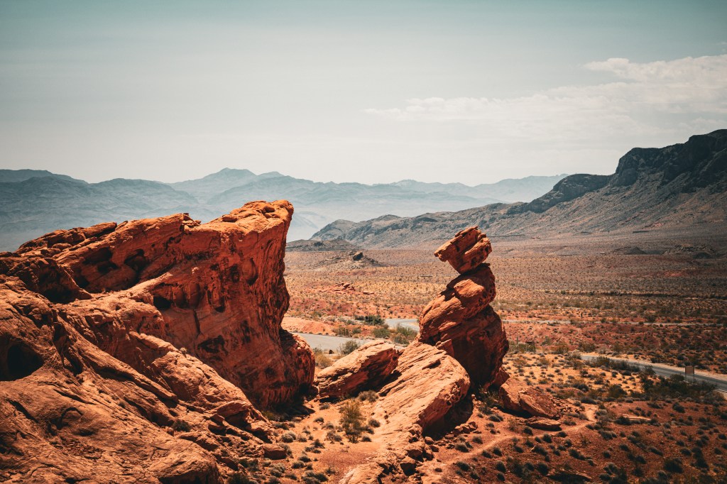
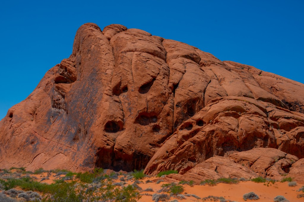
Just an hour northeast of Las Vegas lies one of the Southwest’s most remarkable natural treasures: Valley of Fire State Park. Known for its fiery red sandstone formations, ancient petroglyphs, and stunning desert scenery, this Nevada gem offers visitors a chance to explore landscapes that seem more at home on another planet than on Earth.
Whether you’re a photographer, hiker, history enthusiast, or road-tripper, Valley of Fire delivers unforgettable scenery around every bend.
A Landscape 150 Million Years in the Making
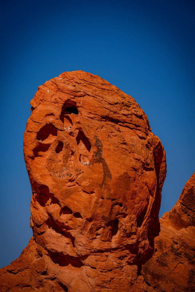
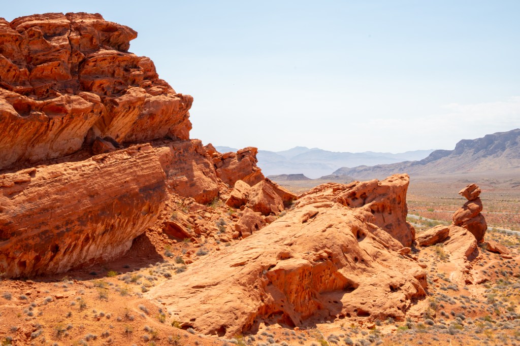
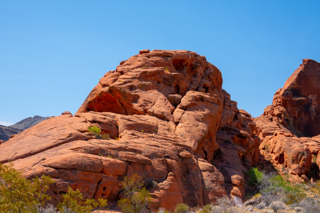
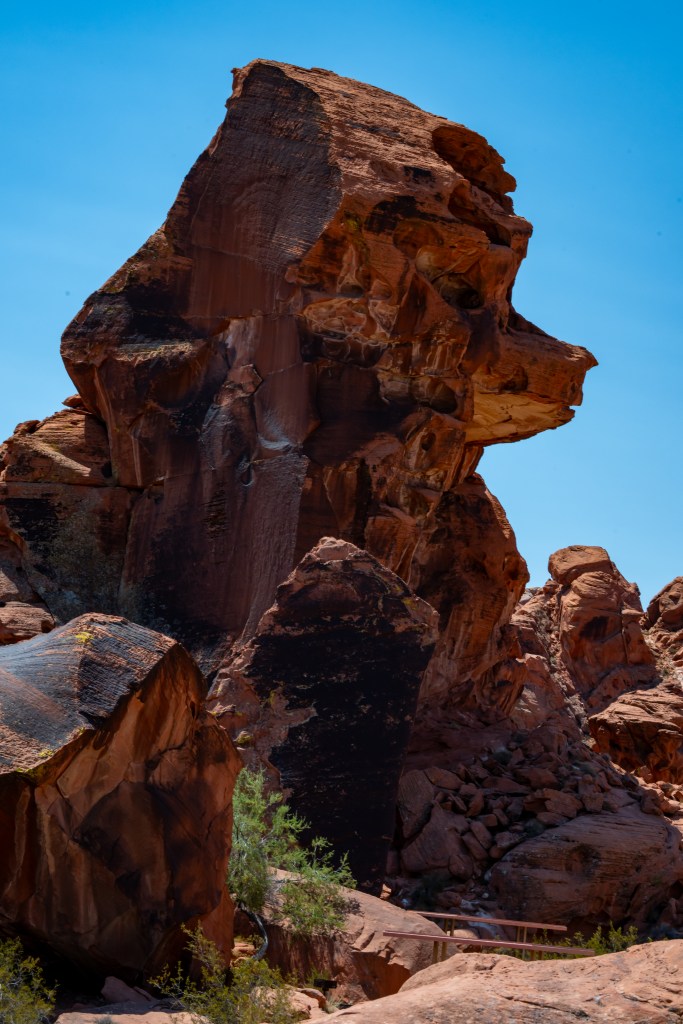
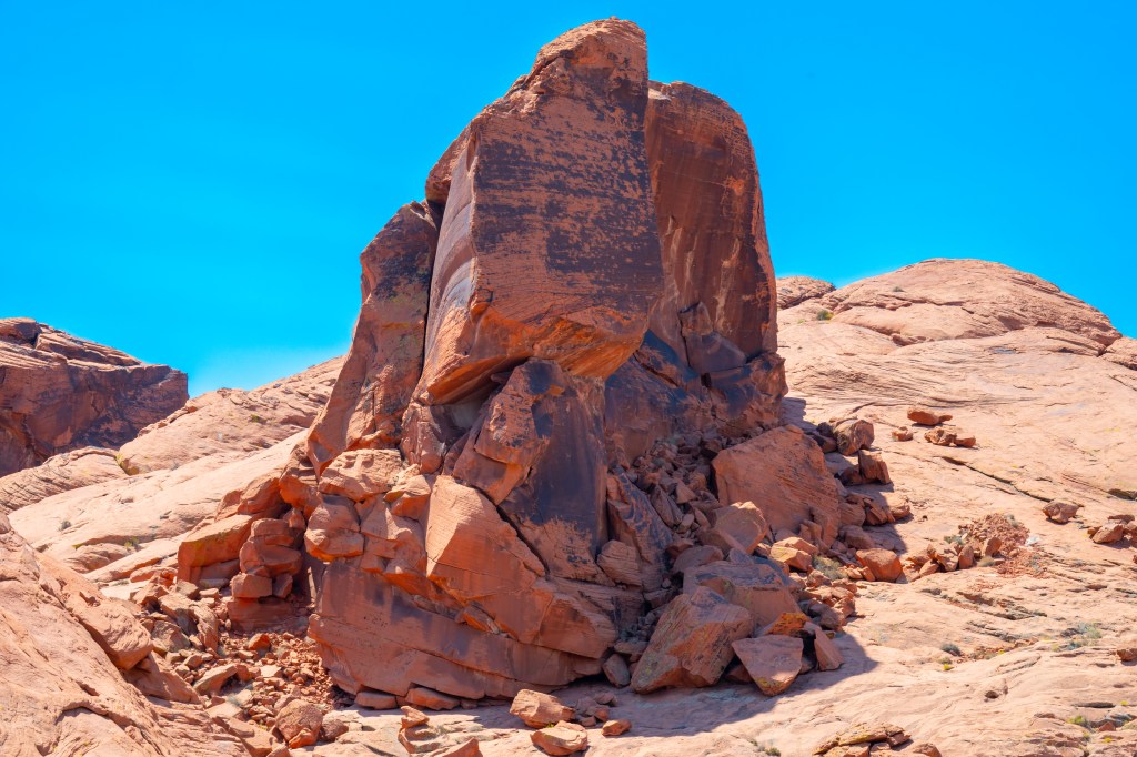
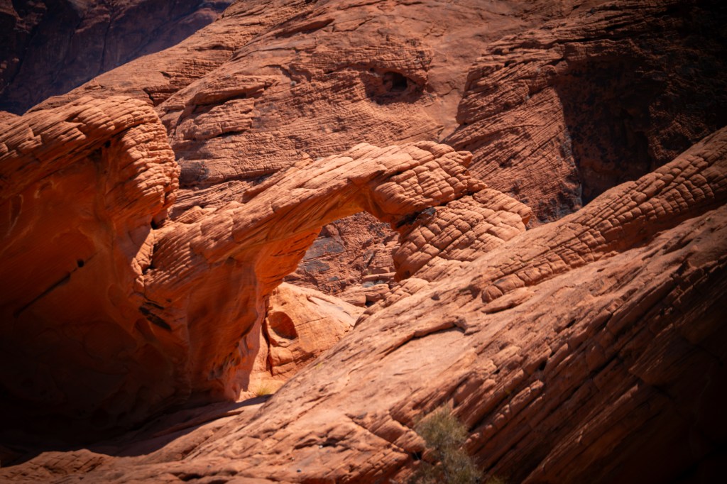
Valley of Fire gets its name from the vibrant red Aztec sandstone formations that appear to glow like flames when illuminated by the morning or evening sun. These striking rock formations were created from ancient sand dunes during the age of the dinosaurs and have been sculpted by wind and water over millions of years.
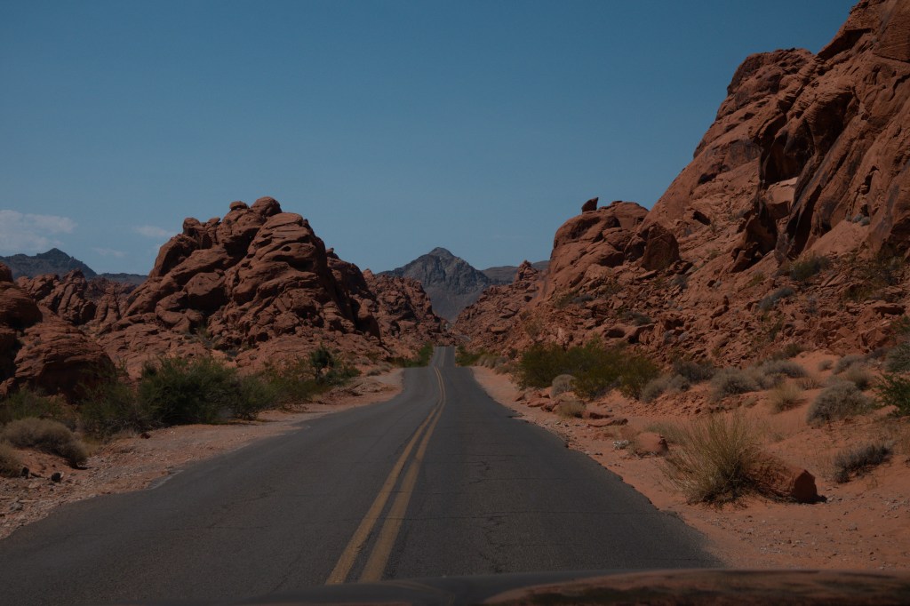
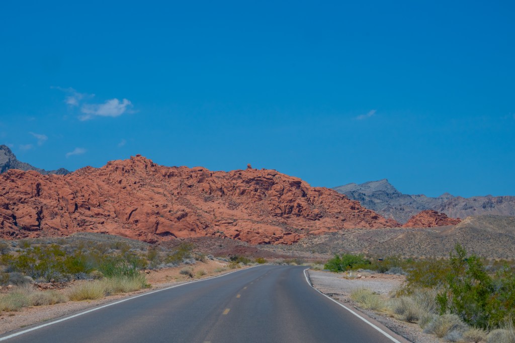
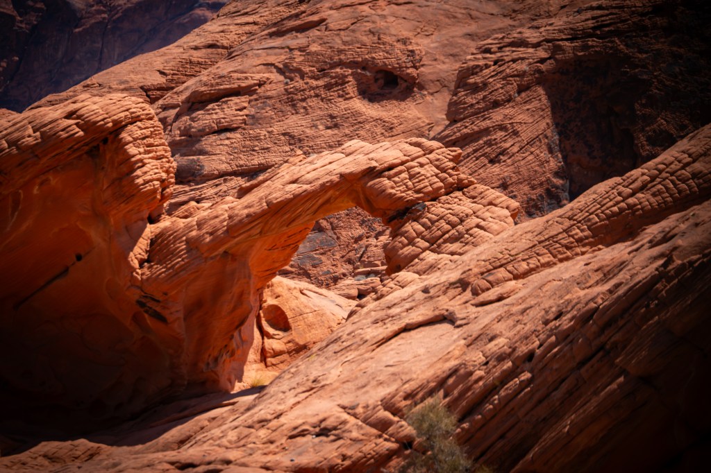
As you drive through the park, you’ll encounter a stunning collection of arches, domes, ridges, and rock formations that showcase the incredible power of nature.
A Photographer’s Dream Destination
For photographers, Valley of Fire is a paradise. The constantly changing light transforms the landscape throughout the day, creating endless opportunities for dramatic images.
Popular photography locations include:
Fire Wave
Perhaps the park’s most famous landmark, Fire Wave features swirling layers of red, pink, and white sandstone resembling a frozen ocean wave. The short hike to this formation is well worth the effort and offers some of the most iconic photographs in Nevada.
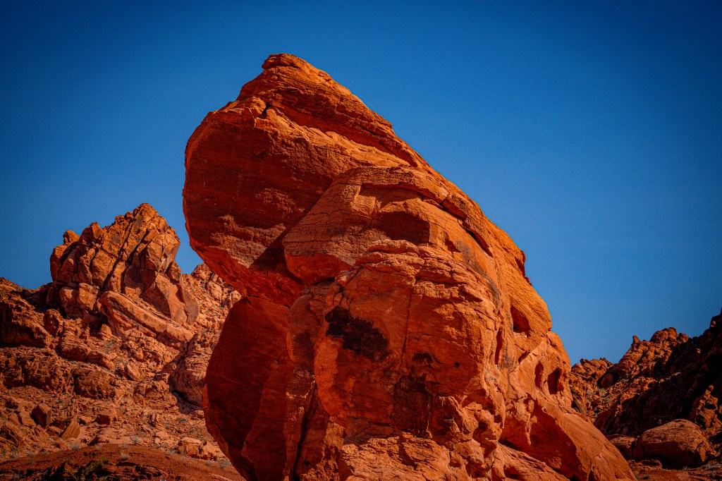
Elephant Rock
Near the east entrance, this naturally sculpted sandstone formation resembles a giant elephant. It’s an easy stop and one of the park’s most recognizable landmarks.
White Domes
This scenic area features colorful rock formations, a slot canyon, and remnants of an old movie set. The White Domes Trail offers some of the most diverse scenery in the park.
Rainbow Vista
A short walk leads visitors to sweeping views of multicolored rock formations stretching across the desert landscape.
Discovering Ancient Petroglyphs
Beyond its geological wonders, Valley of Fire is rich in cultural history. Ancient Native American peoples, including the Ancestral Puebloans, left behind numerous petroglyphs carved into the sandstone thousands of years ago.
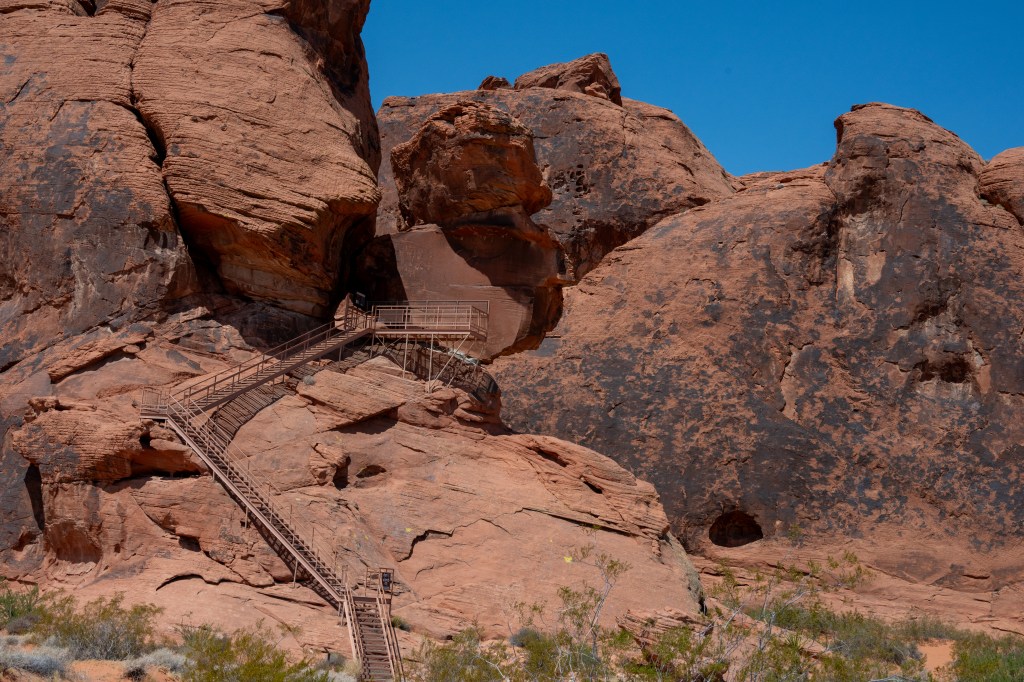
One of the best places to view these fascinating rock carvings is Atlatl Rock, where a staircase provides access to an impressive collection of ancient artwork. These petroglyphs offer a glimpse into the lives and traditions of the people who once called this desert home.
Hiking Through a Desert Wonderland
Valley of Fire offers trails for all skill levels. Some of the most popular include:
Fire Wave Trail
White Domes Loop
Mouse’s Tank Trail
Rainbow Vista Trail
Seven Wonders Loop
Many hikes are relatively short but reward visitors with extraordinary scenery and unique geological features.
Wildlife in the Desert
Although the landscape may appear harsh, Valley of Fire supports a surprising variety of wildlife.
Keep an eye out for:
Desert bighorn sheep
Jackrabbits
Coyotes
Desert tortoises
Lizards and reptiles
Roadrunners and other desert birds
Early morning and late afternoon provide the best opportunities for wildlife photography.
Best Time to Visit
The ideal time to visit Valley of Fire is from October through April when temperatures are cooler and more comfortable for hiking.
Summer temperatures frequently exceed 100°F, making outdoor activities challenging and potentially dangerous during midday hours.
For photographers, sunrise and sunset offer the most dramatic lighting as the sandstone formations glow with intense shades of red and orange.
Travel Tips for Visitors
Bring plenty of water, even during cooler months.
Wear sunscreen and a hat.
Start hikes early to avoid midday heat.
Stay on designated trails to protect fragile desert ecosystems.
Allow plenty of time for photography stops along the scenic drive.
Download maps before arriving, as cell service can be limited.
Final Thoughts
Valley of Fire State Park is one of Nevada’s most spectacular natural destinations and an easy day trip from Las Vegas. Its fiery sandstone formations, ancient petroglyphs, scenic hiking trails, and incredible photographic opportunities make it a must-visit location for anyone exploring the American Southwest.
Whether you’re chasing sunrise at Fire Wave, discovering ancient rock art, or simply enjoying a scenic drive through the desert, Valley of Fire offers a memorable adventure that showcases the beauty and history of Nevada’s desert landscape.
If you’re looking for a destination that combines natural wonder, outdoor exploration, and incredible photography opportunities, Valley of Fire State Park deserves a place at the top of your travel bucket list.
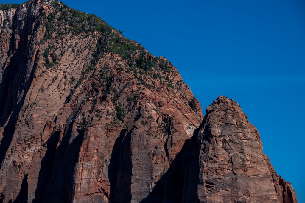
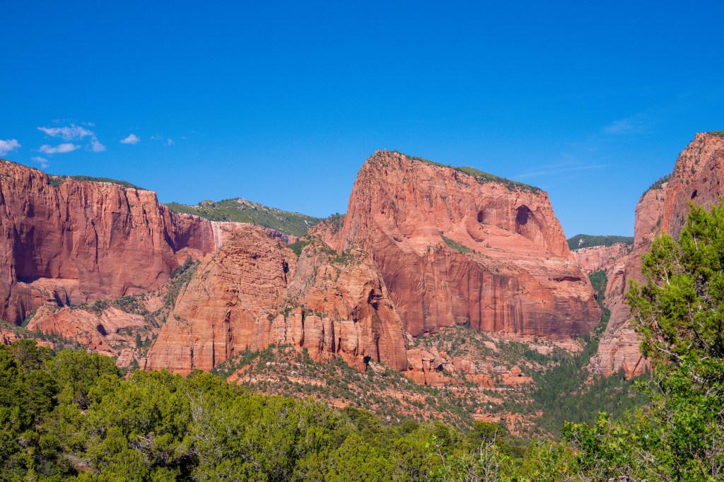
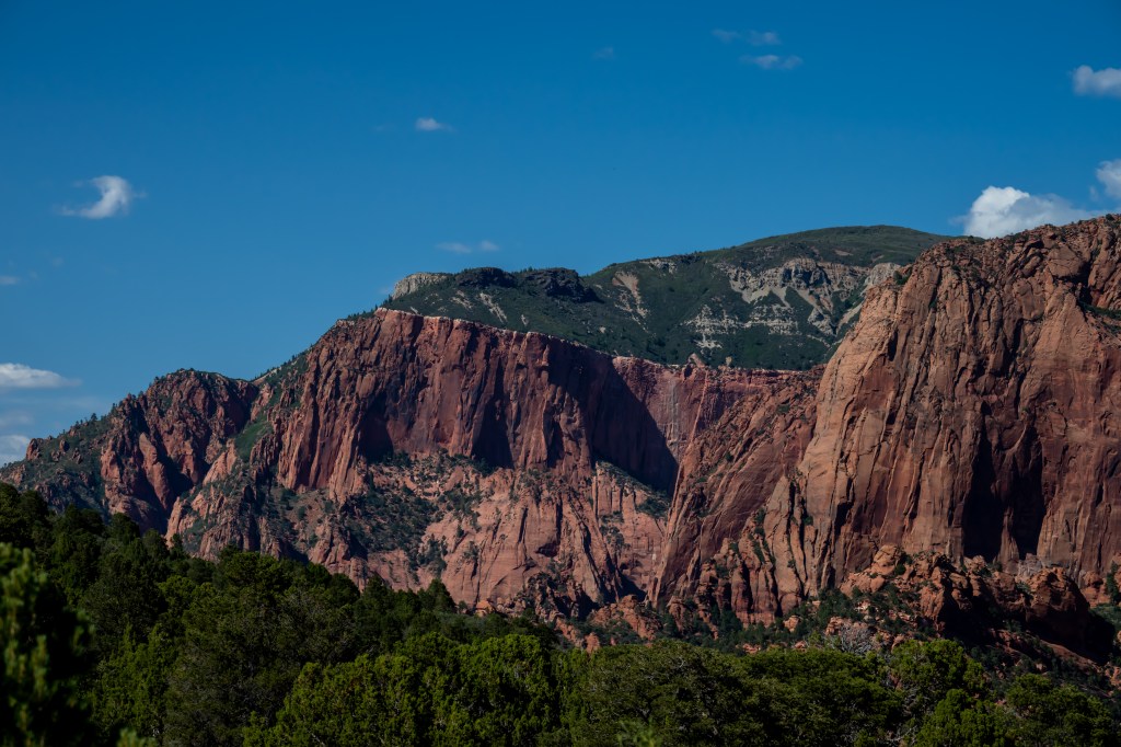
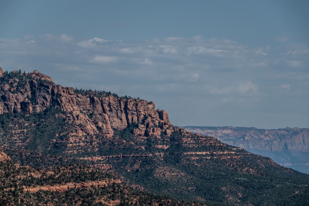
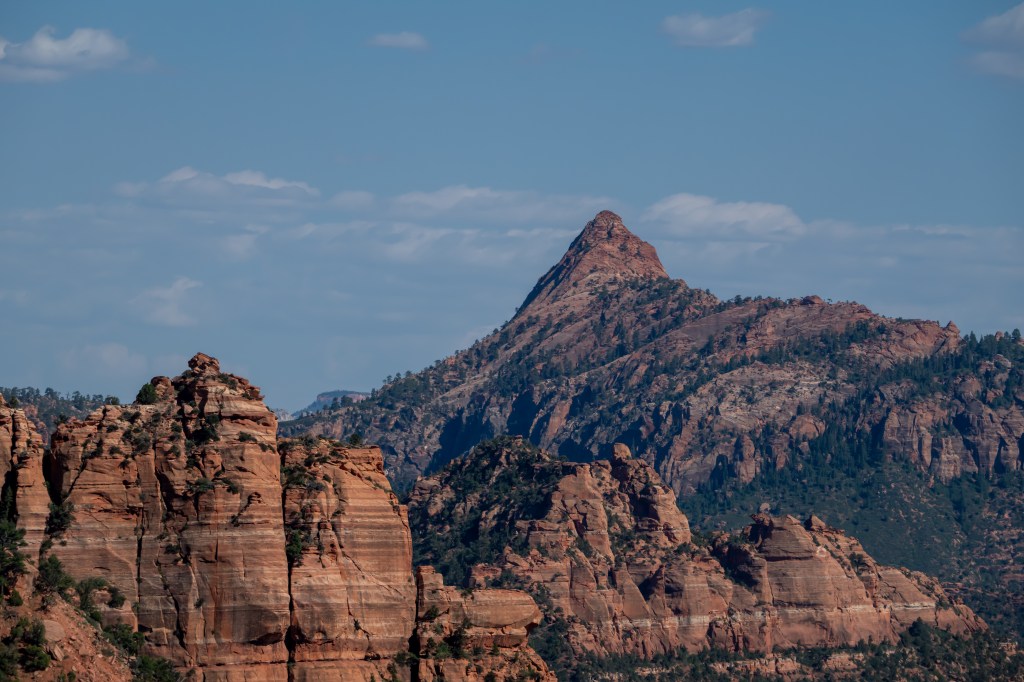
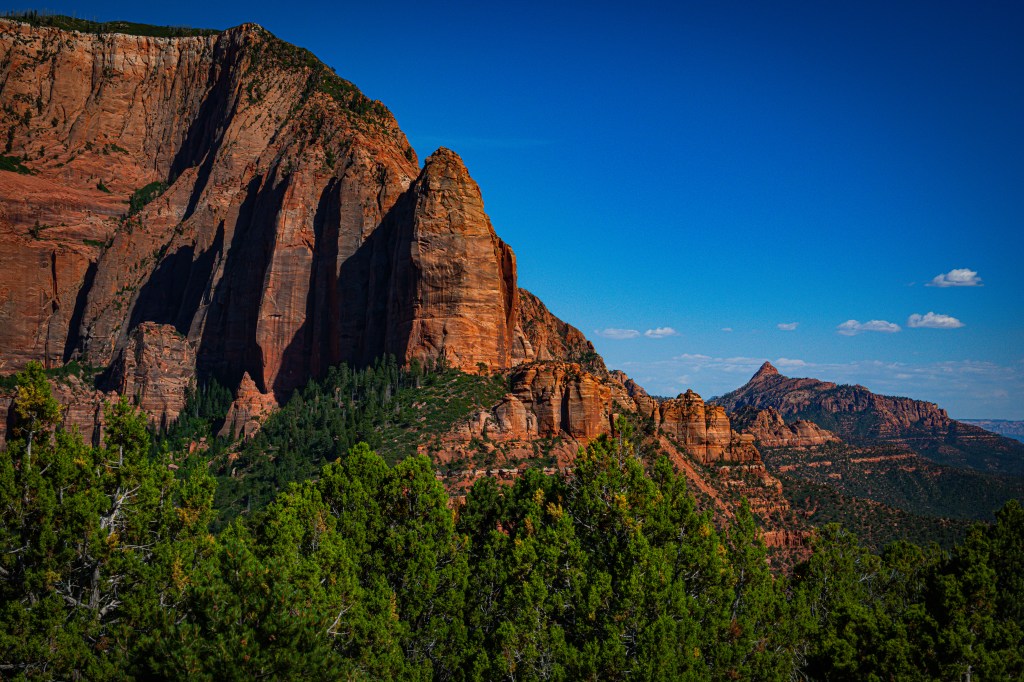
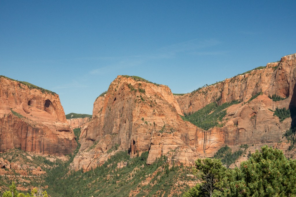
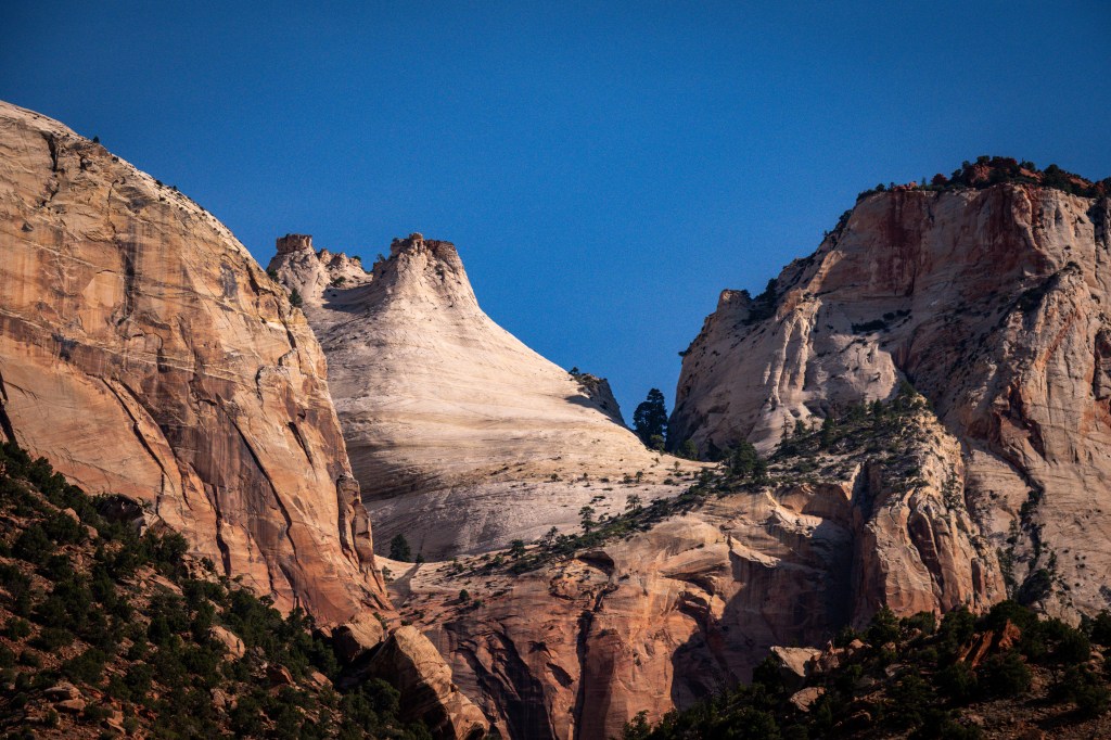
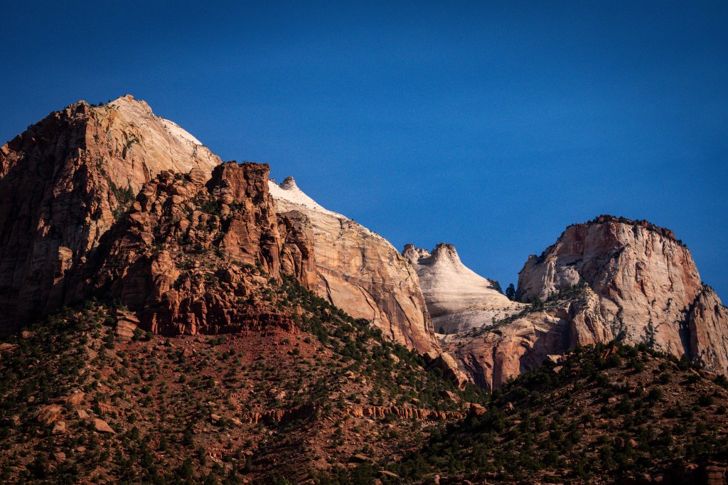
Towering sandstone cliffs, winding rivers, and breathtaking canyon views make Zion National Park one of the most spectacular destinations in the American Southwest. Located in southwestern Utah, Zion attracts millions of visitors each year who come to experience its dramatic landscapes, world-famous hiking trails, and incredible opportunities for photography and wildlife viewing.
Whether you’re an avid hiker, nature photographer, or simply looking for a memorable road trip destination, Zion National Park offers an adventure unlike any other.
A Landscape Shaped by Time
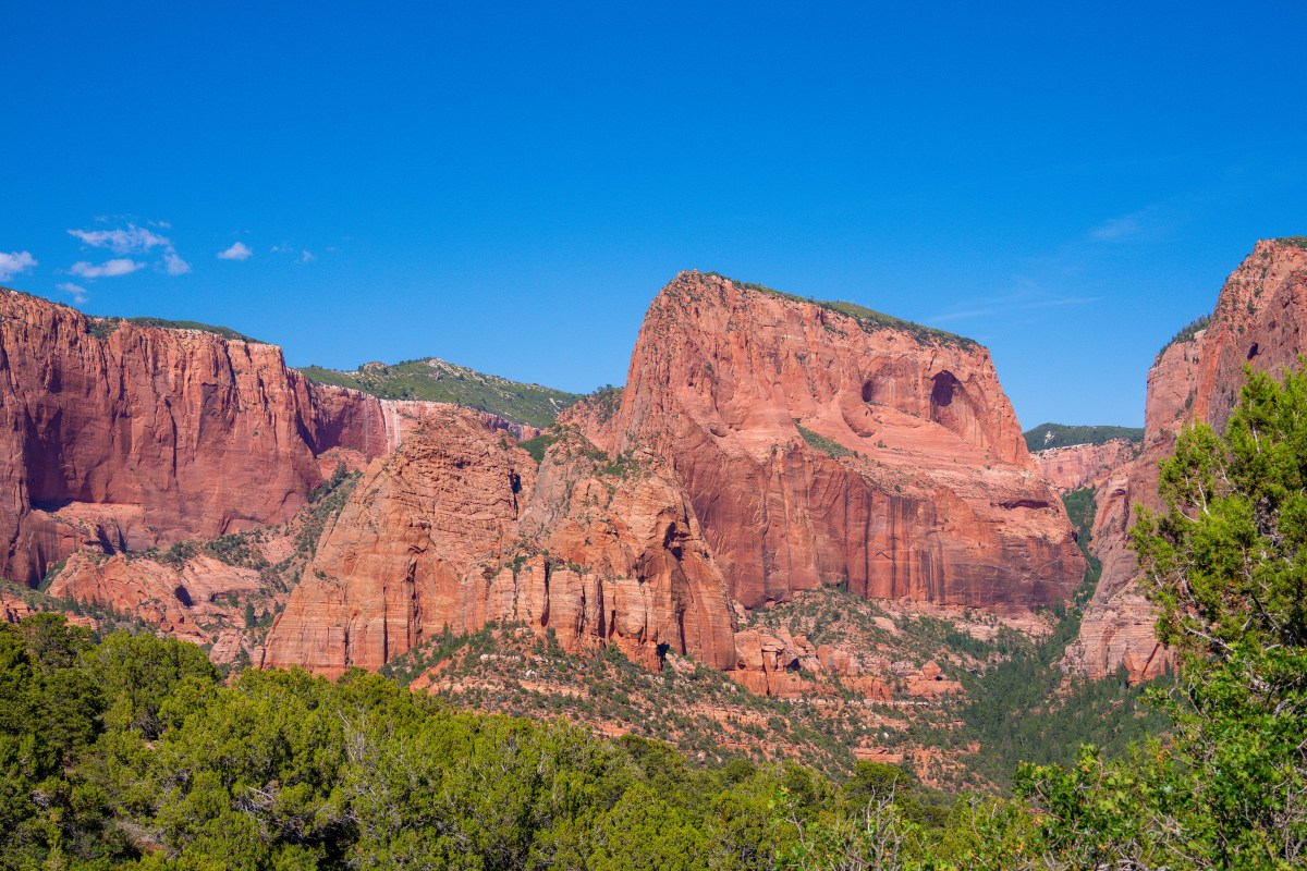
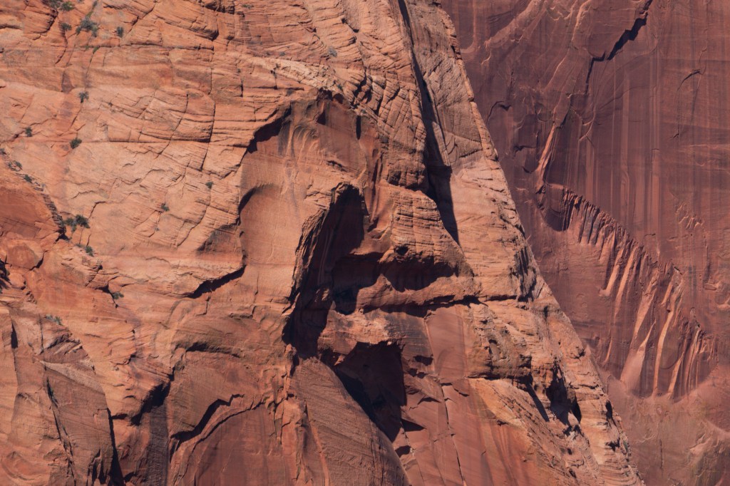
The stunning scenery of Zion was formed over millions of years as the Virgin River carved its way through layers of sandstone, creating deep canyons and towering cliffs. The park’s colorful rock formations display shades of red, orange, cream, and pink that seem to glow during sunrise and sunset.
The name “Zion” means a place of peace and refuge, and visitors often find exactly that while surrounded by the park’s magnificent scenery.
Must-See Attractions
Zion Canyon
The heart of the park is Zion Canyon, where towering walls rise more than 2,000 feet above the valley floor. Scenic shuttle buses transport visitors through the canyon during most of the year, providing easy access to popular trailheads and viewpoints.
The Narrows
One of the most famous hikes in the world, The Narrows takes visitors directly into the Virgin River as they walk between towering canyon walls. In some places, the canyon narrows to just a few feet wide while the sandstone walls soar hundreds of feet overhead.
Photographers will love the reflected light that illuminates the canyon walls throughout the day.
Angels Landing
Known for its breathtaking views and thrilling final ascent, Angels Landing is one of Zion’s most iconic hikes. The trail climbs steeply before reaching a narrow ridge with panoramic views of Zion Canyon below.
A permit is required for the final section of the hike, helping to manage crowds and protect visitor safety.
Emerald Pools
For a more relaxed adventure, the Emerald Pools trails lead visitors to beautiful pools, waterfalls, and lush vegetation. These family-friendly hikes offer excellent opportunities to enjoy Zion’s natural beauty without tackling the park’s more strenuous routes.
Wildlife Encounters
Zion National Park is home to an impressive variety of wildlife. Visitors may encounter:
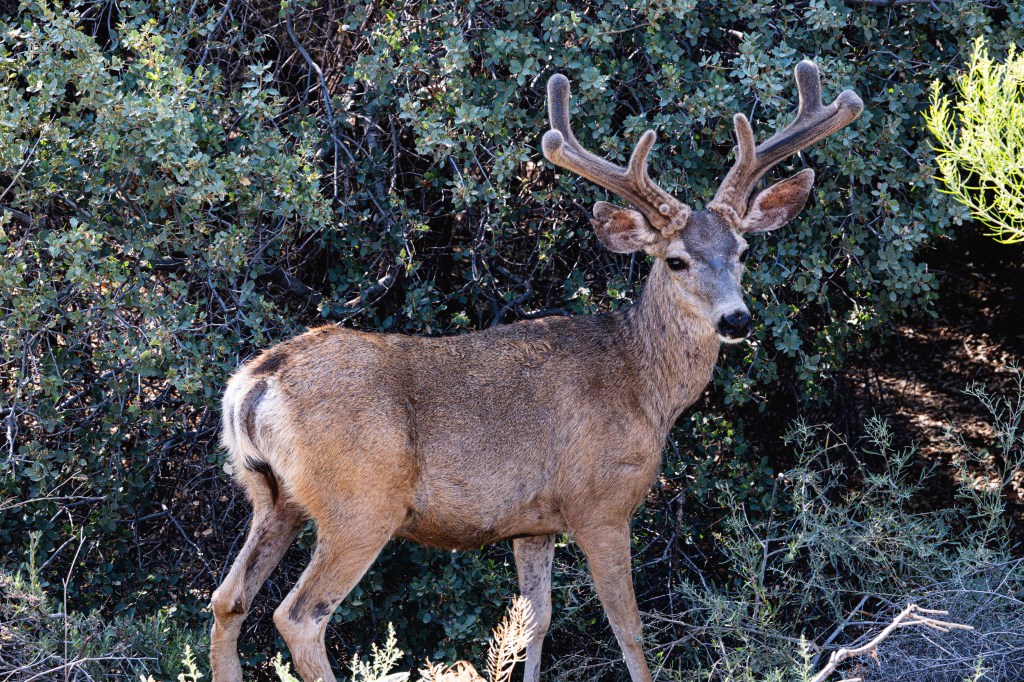
Mule deer grazing in the meadows
Desert bighorn sheep navigating steep cliffs
Rock squirrels along hiking trails
Peregrine falcons soaring overhead
California condors, one of North America’s rarest birds
Birdwatchers will find plenty of opportunities to observe species that thrive in Zion’s diverse habitats.
A Photographer’s Paradise
For travel photographers, Zion is a dream destination. Sunrise and sunset transform the canyon walls into brilliant shades of gold and crimson. Popular photography locations include:
Canyon Overlook Trail
Court of the Patriarchs
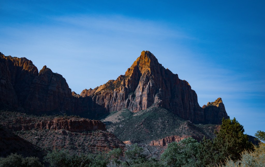
The Watchman
Riverside Walk
Checkerboard Mesa
During autumn, cottonwood trees lining the Virgin River add vibrant yellow colors that contrast beautifully with the red rock landscape.
Best Time to Visit
Spring and fall are often considered the best seasons to visit Zion. Temperatures are comfortable, hiking conditions are ideal, and photographers can take advantage of beautiful lighting and seasonal colors.
Summer brings larger crowds and higher temperatures, while winter offers a quieter experience with occasional snow dusting the canyon walls, creating unique photographic opportunities.
Travel Tips
Arrive early to beat crowds and enjoy the best light for photography.
Carry plenty of water, especially during warmer months.
Wear sturdy footwear for hiking trails.
Check trail conditions before entering The Narrows.
Reserve lodging early if visiting during peak seasons.
Final Thoughts
Zion National Park is a destination that leaves a lasting impression on everyone who visits. From the towering cliffs of Zion Canyon to the winding waters of The Narrows, every corner of the park offers stunning scenery and unforgettable experiences.
Whether you’re seeking adventure, photography opportunities, wildlife encounters, or simply a chance to connect with nature, Zion National Park deserves a place on every traveler’s bucket list. Its combination of natural beauty and outdoor recreation makes it one of America’s most treasured national parks and a highlight of any Southwest road trip.
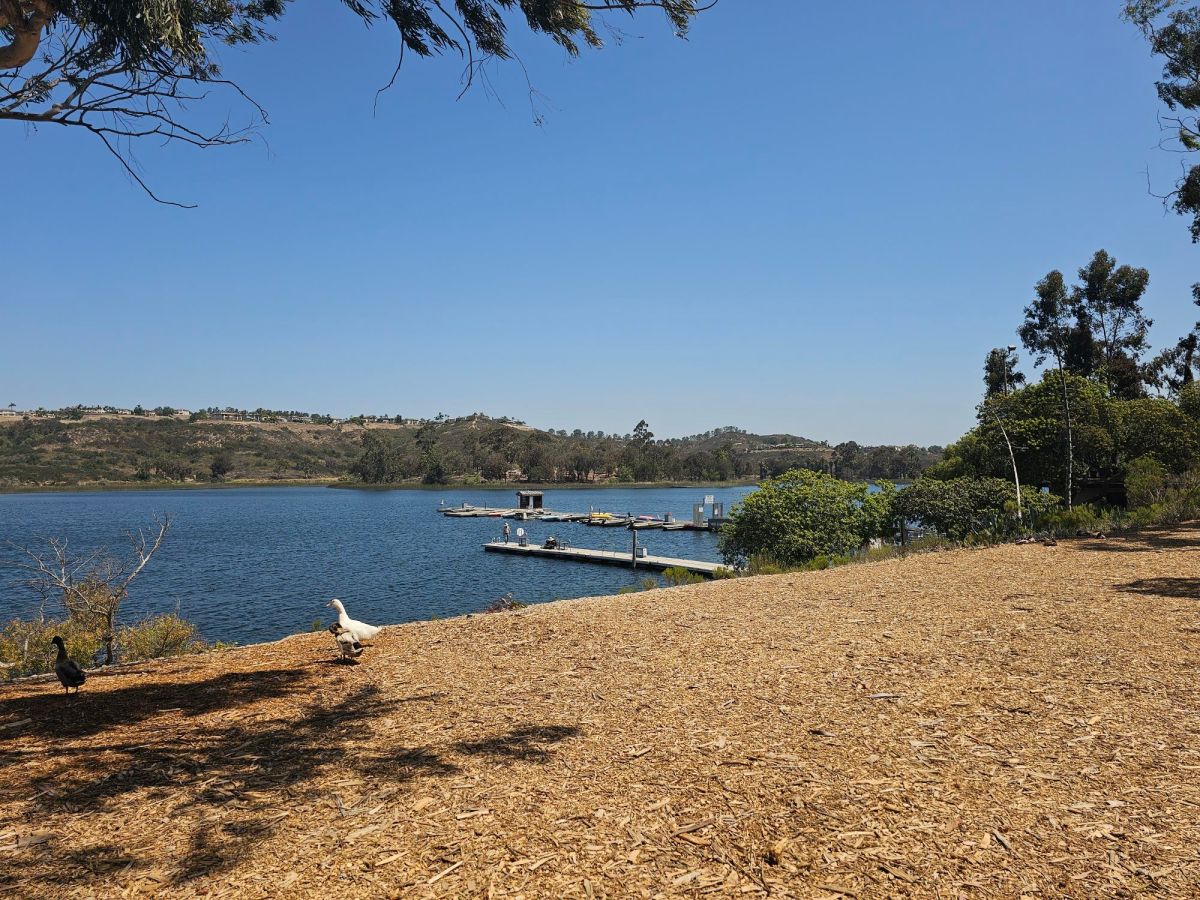
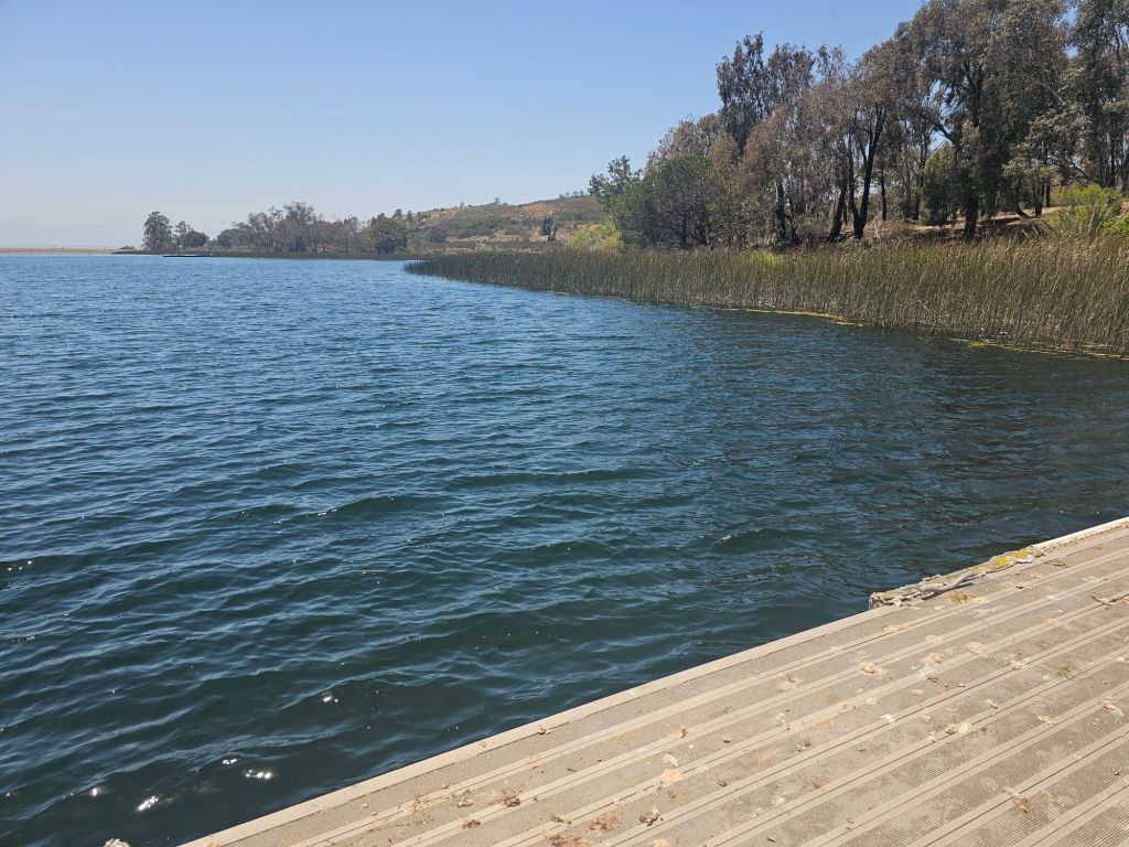
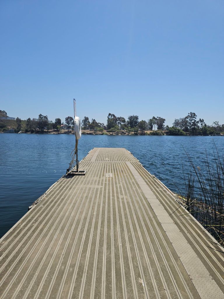
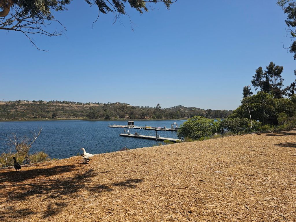
Officially known as Miramar Reservoir, the lake offers a peaceful blend of recreation, wildlife, and wide-open scenery just minutes from busy neighborhoods and freeways. Originally constructed as part of San Diego’s water supply system, the reservoir today serves a dual purpose. While it continues to store drinking water for the city, the surrounding recreation area has evolved into a popular local escape where visitors can enjoy nature without leaving urban San Diego behind.
Officially known as Miramar Reservoir, the lake offers a peaceful blend of recreation, wildlife, and wide-open scenery just minutes from busy neighborhoods and freeways. Originally constructed as part of San Diego’s water supply system, the reservoir today serves a dual purpose. While it continues to store drinking water for the city, the surrounding recreation area has evolved into a popular local escape where visitors can enjoy nature without leaving urban San Diego behind.
One of the biggest draws of Lake Miramar is the nearly five-mile paved loop that circles the reservoir. The trail is mostly flat, making it accessible for casual walkers while still offering enough distance for runners and cyclists looking for a good workout. Early mornings are especially popular, when cool air settles over the water and the rising sun reflects across the calm surface of the lake.
Wildlife is another major attraction around the reservoir. Birdwatchers regularly encounter ducks, grebes, cormorants, herons, and gulls on the water, while hawks and kestrels patrol the nearby hillsides. During migration seasons, unexpected visitors sometimes appear, rewarding patient observers with memorable sightings. Despite its popularity, Lake Miramar still manages to feel surprisingly peaceful. A weekday morning walk can bring long stretches of quiet shoreline, interrupted only by birds calling across the water or the distant splash of fish near the surface.
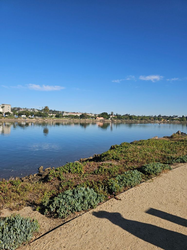
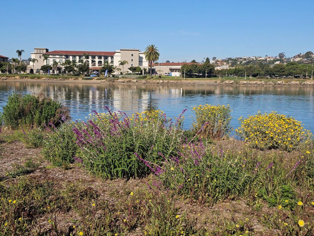
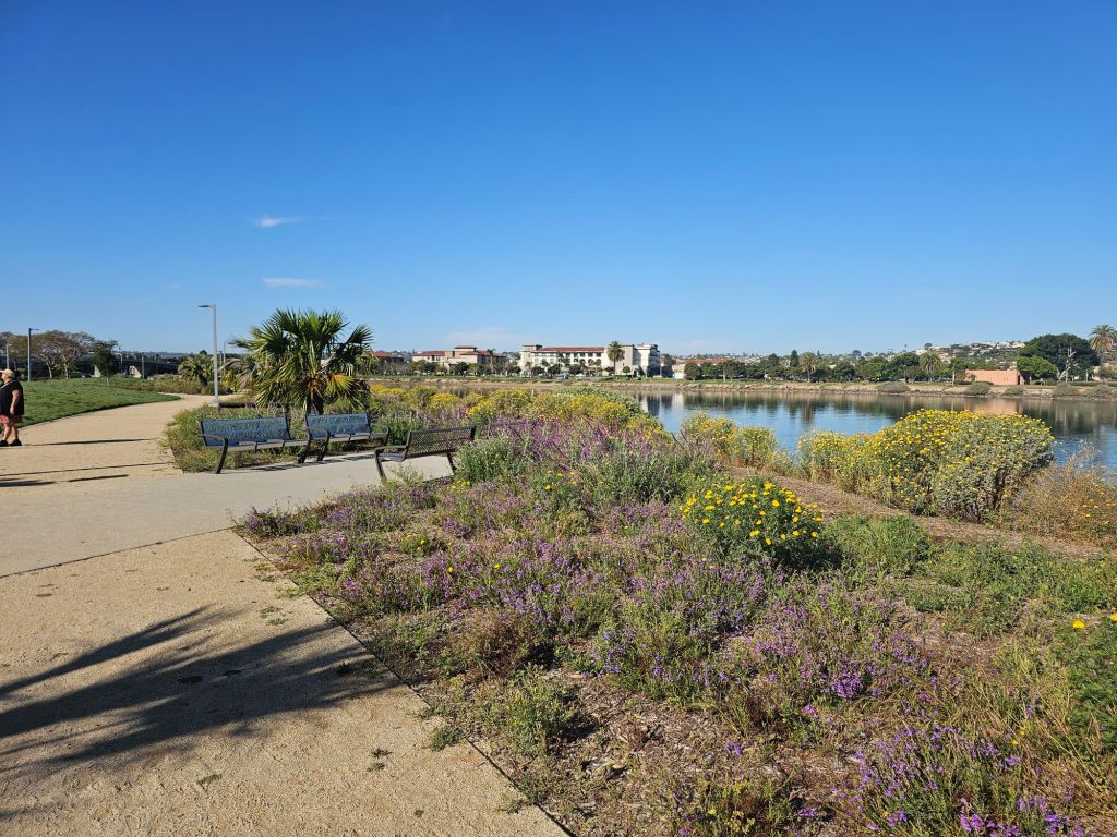
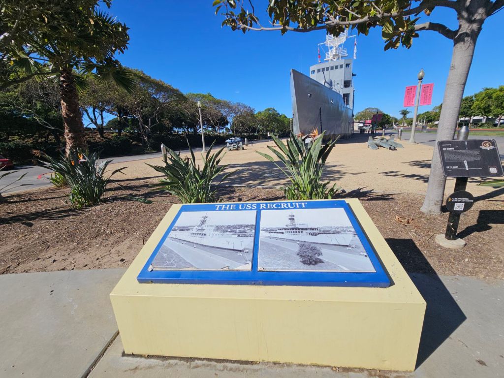
Tucked along the north western edge of San Diego Bay, Spanish Landing Park West offers a rare blend of peaceful scenery and deep historical significance. Just minutes from the bustle of the airport, this waterfront park feels like a hidden retreat—where sailboats drift by, palm trees sway, and history quietly lingers in the background.
Where California’s Story Began
Long before it became a scenic park, this shoreline played a pivotal role in shaping the region. In 1769, Spanish expeditions led by Gaspar de Portolá and Junípero Serra came ashore here, marking the beginning of European settlement in Alta California.
Today, a historical marker commemorates this moment, reminding visitors that this quiet park was once the starting point of a much larger story—one that would eventually lead to the founding of California’s first missions and settlements.
A Park Designed for Slowing Down
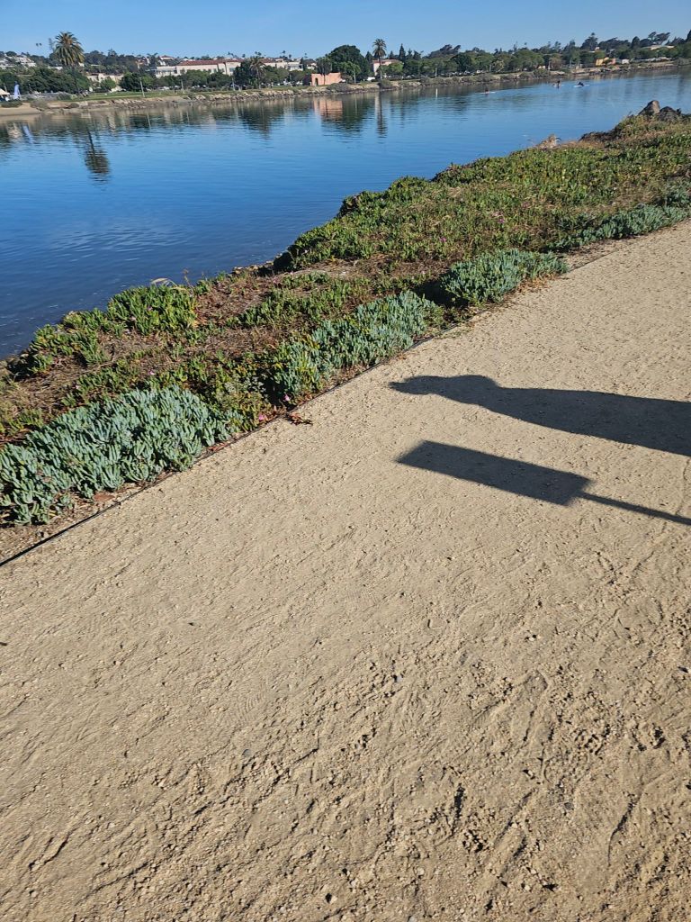
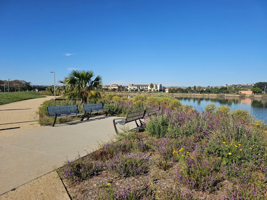
Spanish Landing Park West is the kind of place where you come to take your time. Wide grassy lawns stretch along the bay, dotted with picnic tables and shaded by trees. A paved waterfront path makes it ideal for walking, jogging, or biking while enjoying uninterrupted views of the marina and downtown skyline.
There’s also a small sandy beach—perfect for relaxing, launching a kayak, or simply dipping your toes in the water. While it’s not a major swimming destination, it’s a great spot to unwind and watch boats glide across the harbor.
Families will find playground areas for kids, while photographers and nature lovers will appreciate the open sightlines and ever-changing coastal light.
A Front-Row Seat to the Sky
One of the most unique features of the park is its proximity to San Diego International Airport. Planes descend dramatically overhead, offering a thrilling and surprisingly peaceful spectacle. It’s one of the best spots in the city for plane-watching—especially during golden hour when aircraft silhouettes cut across colorful sunsets.
A Greener, More Sustainable Park
Recent improvements have added a thoughtful environmental touch to the park. New groves of water-wise and non-invasive trees have been planted to provide shade, support biodiversity, and enhance the overall landscape.
These additions not only make the park more comfortable on warm days but also reflect San Diego’s growing commitment to sustainability along its waterfront spaces.
Planning Your Visit
Spanish Landing Park West is open daily from 6:00 a.m. to 10:30 p.m., with parking available nearby. Whether you’re stopping by for a quick walk, a picnic, or a sunset photo session, it’s an easy and rewarding place to explore.
Why It’s Worth Visiting
Spanish Landing Park West isn’t flashy—and that’s exactly its charm. It’s a place where history, nature, and everyday life quietly intersect. You can stand where explorers once landed, watch modern sailboats drift by, and listen to jets overhead—all in the same moment.
For photographers, it’s a canvas of light and motion. For locals, it’s a peaceful escape. And for visitors, it’s a reminder that even the most laid-back places can hold powerful stories.
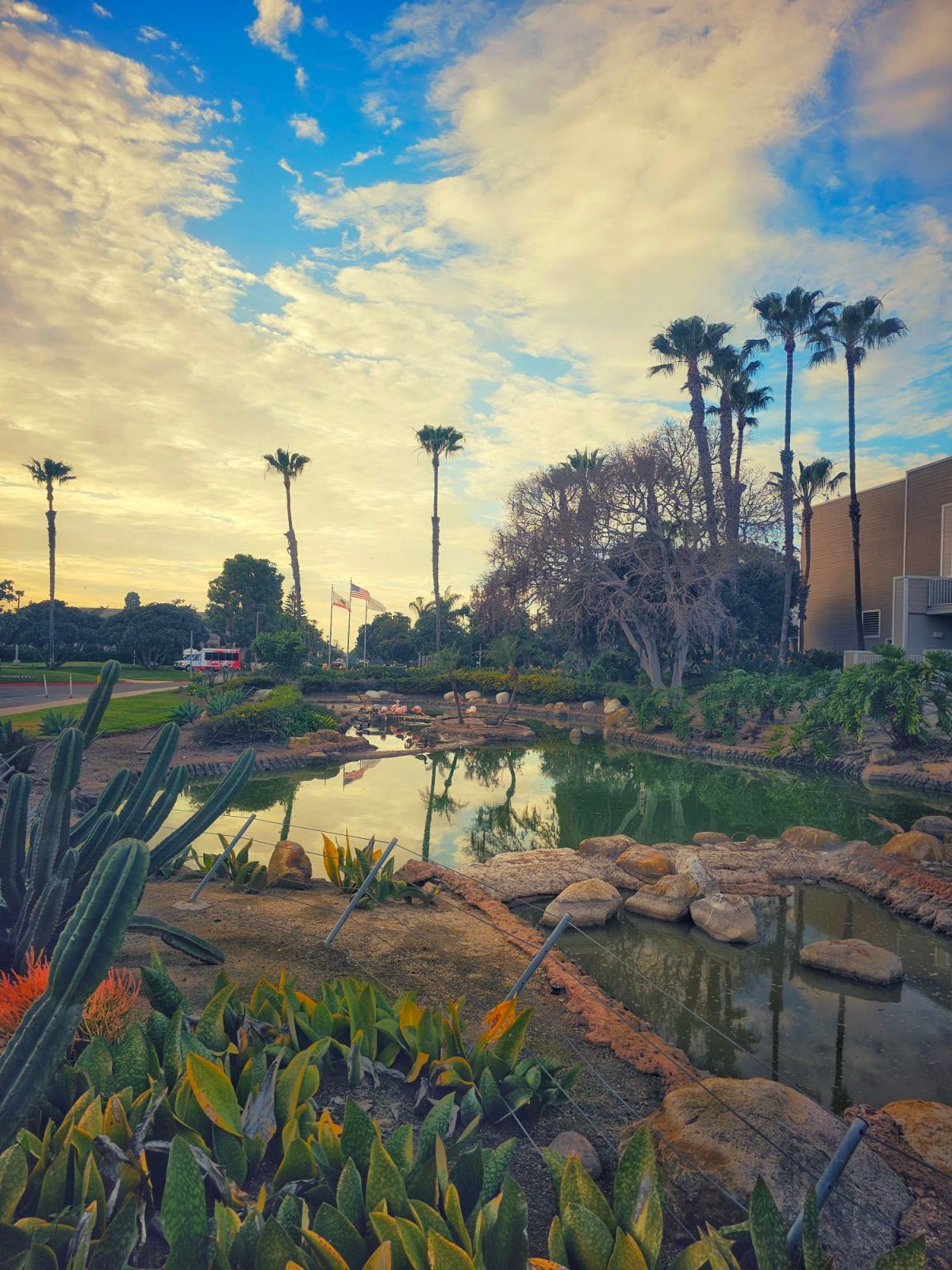
Right near the entrance of the Marriott Coronado Resort and Spa area series of fresh water ponds where you can a group of flamingos strutting, preening and standing in the shallows. These striking birds — often identified as Chilean flamingos— bring an enchanting splash of color to the tropical landscaping and are a favorite photo opportunity for guests and passersby alike.
While Coronado’s golden beaches and sparkling bay views are a draw in themselves, the flamingos offer something extra: a touch of whimsy and wonder. They’re known to hang out right by the Lagoon area accessible from the Bayshore Bikeway, so even if you aren’t staying at the hotel, a quiet stroll along the waterfront could lead to a charming flamingo sighting.
📸 Why Visitors Love Them
Iconic photo ops: Kids and adults alike pause to snap pictures of the elegant birds — their vibrant pink feathers make a lovely contrast against the deep greens of the resort landscaping and the blue backdrop of San Diego Bay.
Unexpected wildlife moment: It’s not every day you come across flamingos in Southern California, so they feel like a special little secret of Coronado.
Accessible to all: You don’t need a room key to enjoy the flamingos — curious visitors can spot them from nearby public paths near the ferry landing and waterfront promenade.
If you are not a guest of the hotel or do not want to pay the resort parking fee you will have to find street parking in front of the hotel along Glorietta Boulevard. Park south of the resort at Tidelands Park and walk north along the Bay Shore Bike Path. Or lastly park north of the resort ant the Coronado Ferry Landing Parking lot and walk south along the bay shore bike path.
The freshwater ponds are located to the right of the main hotel entrance on the south side of the building.
Chollas Lake Reservoir is one of those places many locals drive past without realizing what’s inside. Beyond the busy streets and surrounding homes, the lake opens up into a surprisingly peaceful space—part urban park, part wildlife refuge, and part neighborhood gathering spot.
A Brief History of Chollas Lake
Chollas Lake was originally constructed in the early 1900s as part of San Diego’s water supply system. Over time, the reservoir evolved into a public recreation area, managed today by the City of San Diego. While it no longer serves as a primary drinking water source, the lake continues to play an important role as a community park and habitat for local wildlife.
Walking the Lake Loop
One of the most popular features of Chollas Lake is the roughly half-mile loop trail that circles the water. The path is mostly flat and paved, making it accessible for walkers, joggers, and families. Benches along the way invite visitors to slow down, sit, and watch the water—something that feels rare in a city environment.
Morning and late afternoon are especially pleasant, with cooler temperatures and softer light reflecting off the lake’s surface.
The fishing at Chollas Lake in San Diego is specifically designated for youth anglers only (ages 15 and under), meaning children can fish there for free and adults are expected to help or supervise but cannot fish themselves
The main gate at the East entrance of the park next to the lake closes 30 minutes before sunset. Other gates close BEFORE the East gate. Please note the closing time posted at your point of entry.
If you love wildlife, big skies, and birds of prey, the Ramona Grasslands Hawk Watch in San Diego East County offers a free, up-close way to experience some of North America’s most majestic raptors in winter. Set against the sweeping open landscapes of the Ramona Grasslands Preserve, this seasonal program draws both casual nature lovers and serious birders alike.
What Is Hawk Watch?
Upcoming 2026 Saturdays 10am to 12pm
January 3rd, 10,17, 24,31
February 7,14,21, 28
Ramona Grasslands Hawk Watch is a free weekly wildlife education event hosted by the Wildlife Research Institute (WRI) most Saturdays in January and February at Begent Ranch in Ramona. While it shares its name with traditional migration “hawk watches,” this program is more than just counting birds — it’s a hands-on learning experience for all ages
Hawk Watch is an informative educational Biologist Talk and Q& with Falconry or ambassador raptors for you to see up close and personal. The seated program lasts approximately 1.5 to 2 hours. After the presentation there is an option for additional roadside observations of wild raptors and other wildlife including bald eagle nest where you will drive your own car less than 2 miles on paved roads and come and go at your leisure.
Biologists and local expert volunteer observers will help you spot and identify birds and show them to you through our high-powered professional telescopes. In the event of rain, we will still have the educational program inside the barn, but the usual falconry flight displays will not occur in the barn. There is no hiking portion of Hawk Watch, but we recommend wearing sturdy shoes for uneven terrain and going on your own to the nearby Ramona Grassland Preserve hiking trail after the program. Hawk Watch is wheelchair accessible, and we recommend using one if walking on uneven terrain could be a safety hazard for you. We hope you can make it!
Tucked along the San Diego River in Ocean Beach, the Robb Field Loop Walkway is a hidden gem for walkers, joggers, and cyclists who want a peaceful route with a touch of coastal charm. This easy, flat loop circles the athletic fields of Robb Field and connects to the scenic San Diego River Trail, offering a refreshing mix of open park space, waterfront views, and breezy ocean air.
A Walk with a View
The loop itself is about 1.5 miles, making it the perfect distance for a quick walk, a warm-up jog, or even a leisurely dog stroll. As you circle around, you’ll see wide green lawns filled with soccer players, skateboarders, and families enjoying the day. Look west and the path opens up to the San Diego River estuary, where herons, egrets, and osprey can often be spotted fishing in the calm waters.
Connection to the San Diego River Trail
One of the best parts of the Robb Field Loop is that it connects seamlessly to the San Diego River Trail, a multi-use path stretching inland for miles. If you’re up for a longer adventure, you can head east along the river toward Mission Valley or west toward the Ocean Beach Dog Beach area.
Family & Fitness Friendly
The walkway is paved and flat, making it accessible for strollers, wheelchairs, and bikes. Along the loop you’ll also find exercise stations, benches, and shaded spots—perfect for breaking up your walk with a stretch or water break. Since Robb Field is also home to a skate park, ball fields, and tennis courts, there’s something for everyone to enjoy before or after the walk.
Best Time to Visit
Morning and evening are especially beautiful times to stroll the loop. Early risers will enjoy calm air and bird activity along the estuary, while sunset brings soft colors over the river and the silhouettes of palm trees along the horizon.
A Local Favorite
While many visitors head straight to the beach, locals know Robb Field Loop Walkway as a quieter spot for exercise, birdwatching, or simply enjoying the outdoors. It’s not a strenuous hike, but rather a slice of everyday San Diego life with its mix of nature, recreation, and community.
👉 Tip for photographers: Bring your camera for the golden hour. The estuary, palm trees, and distant Ocean Beach Pier create postcard-worthy shots.
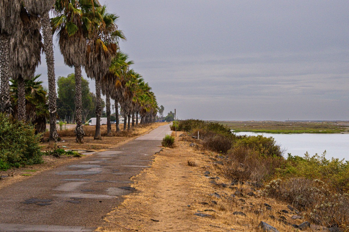
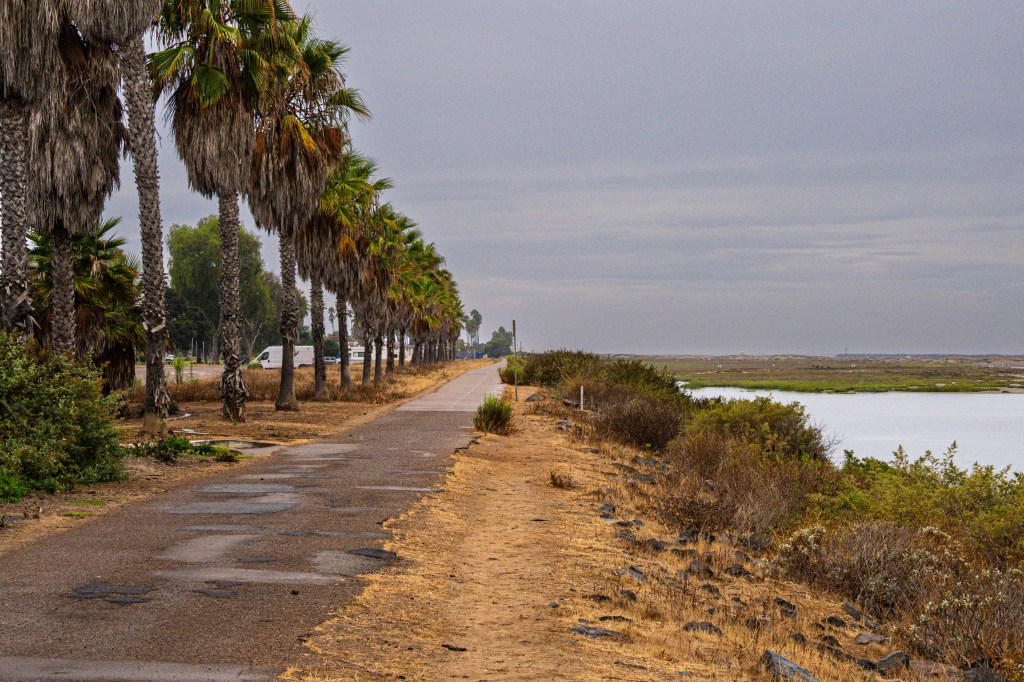
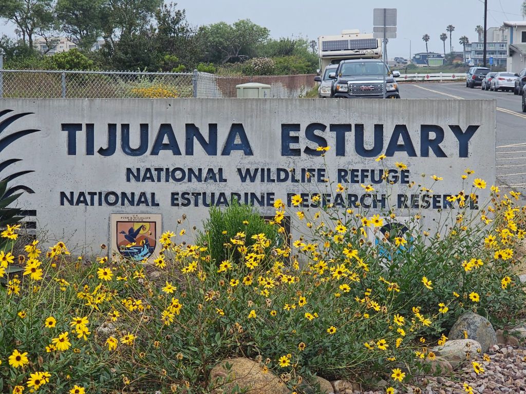
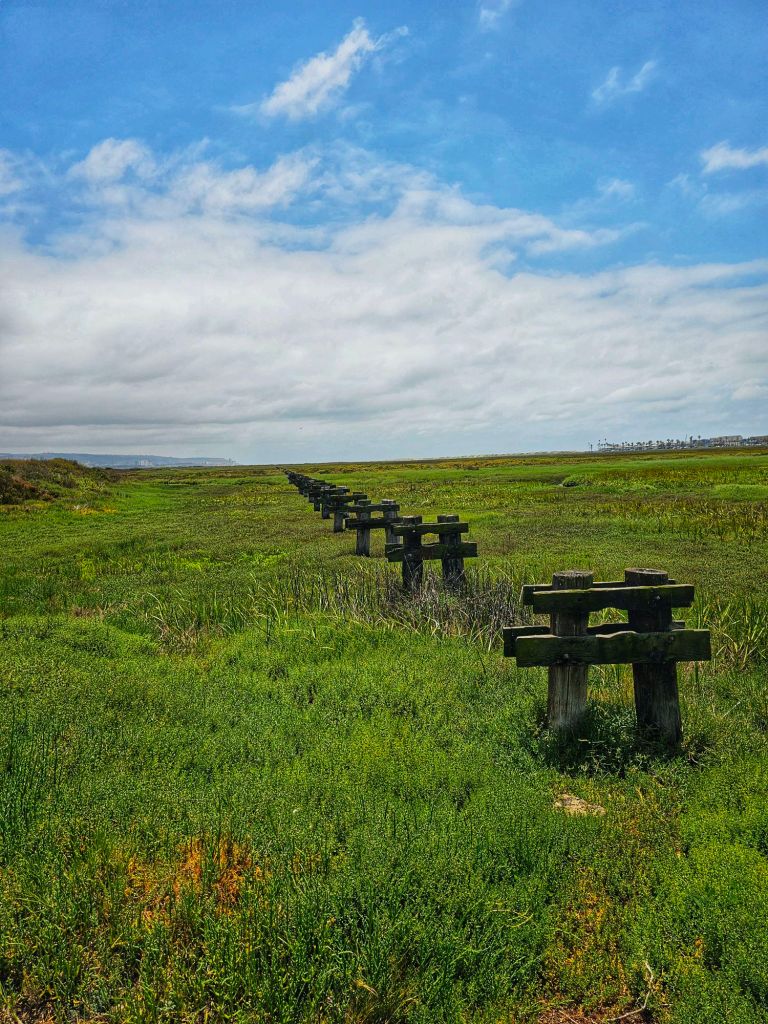
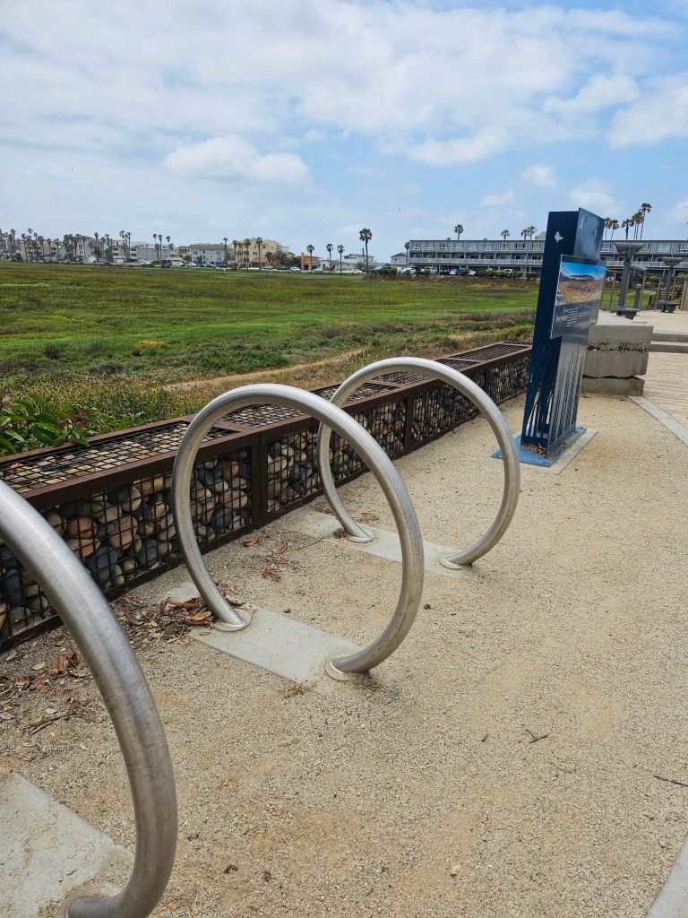
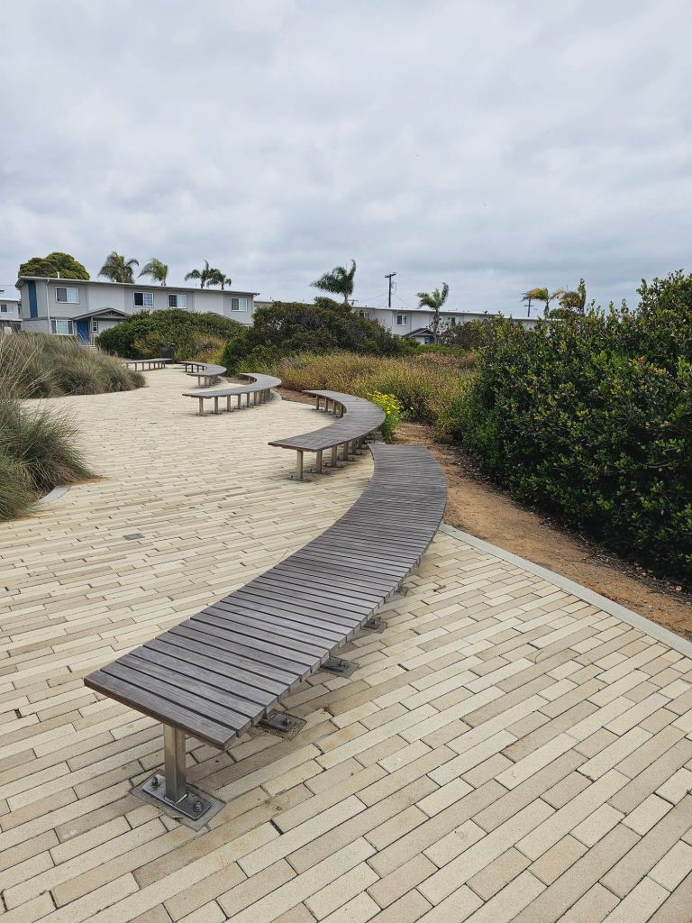
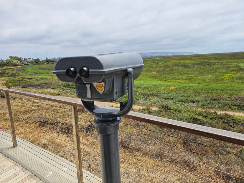
Just a few miles south of San Diego’s bustling downtown lies a hidden gem where saltwater, freshwater, and wildlife converge in a delicate dance of life—the Tijuana River Estuary. Tucked between Imperial Beach and the U.S.-Mexico border, this vast coastal wetland is not only a peaceful escape from the city but also one of Southern California’s most ecologically significant landscapes.
A Living Sanctuary
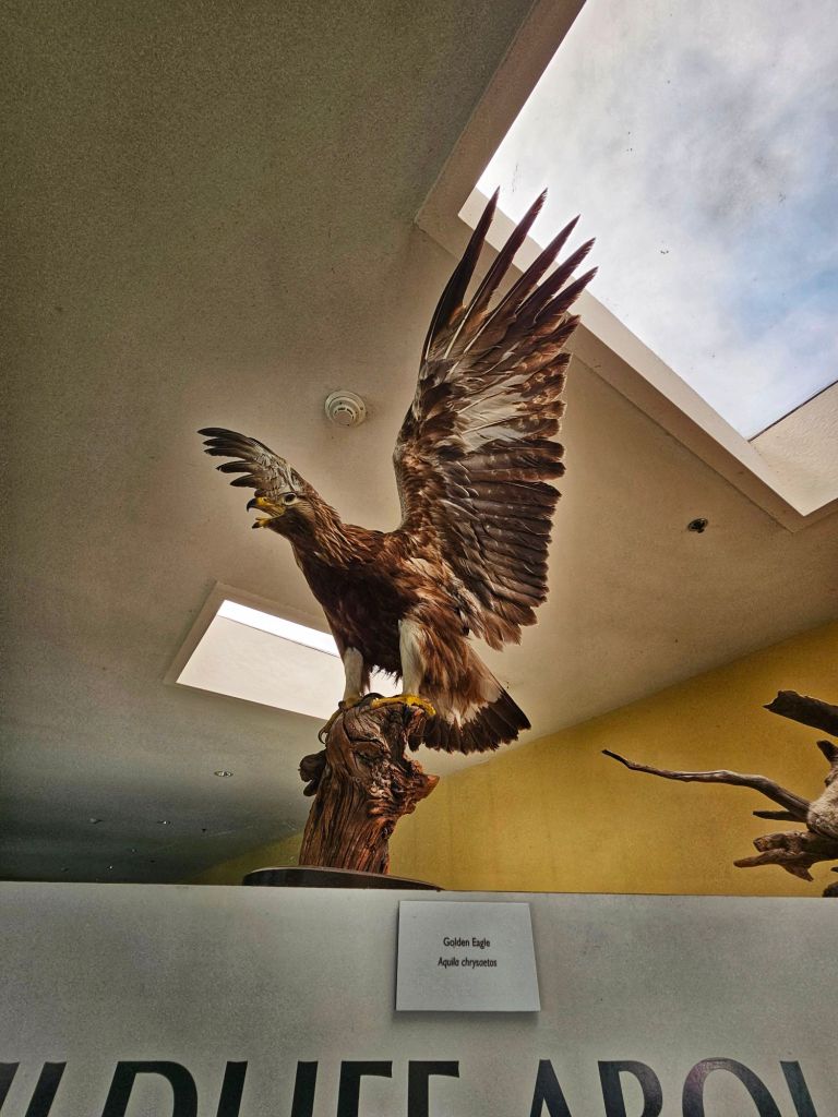
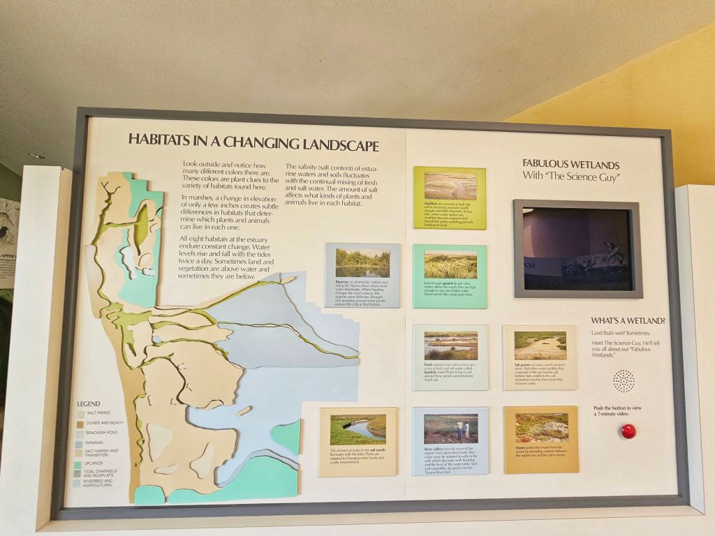
The estuary is part of the Tijuana River National Estuarine Research Reserve, a protected area spanning over 2,500 acres. It’s one of only 30 estuarine research reserves in the United States, and it plays a vital role in protecting endangered species, filtering water, and buffering the coast from storm surges.
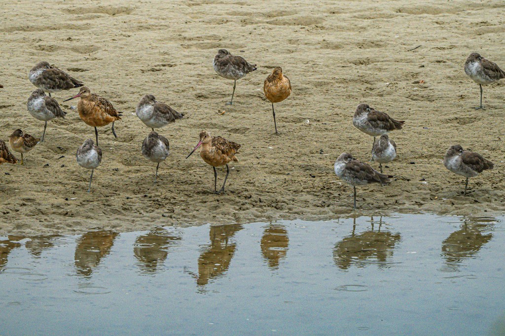
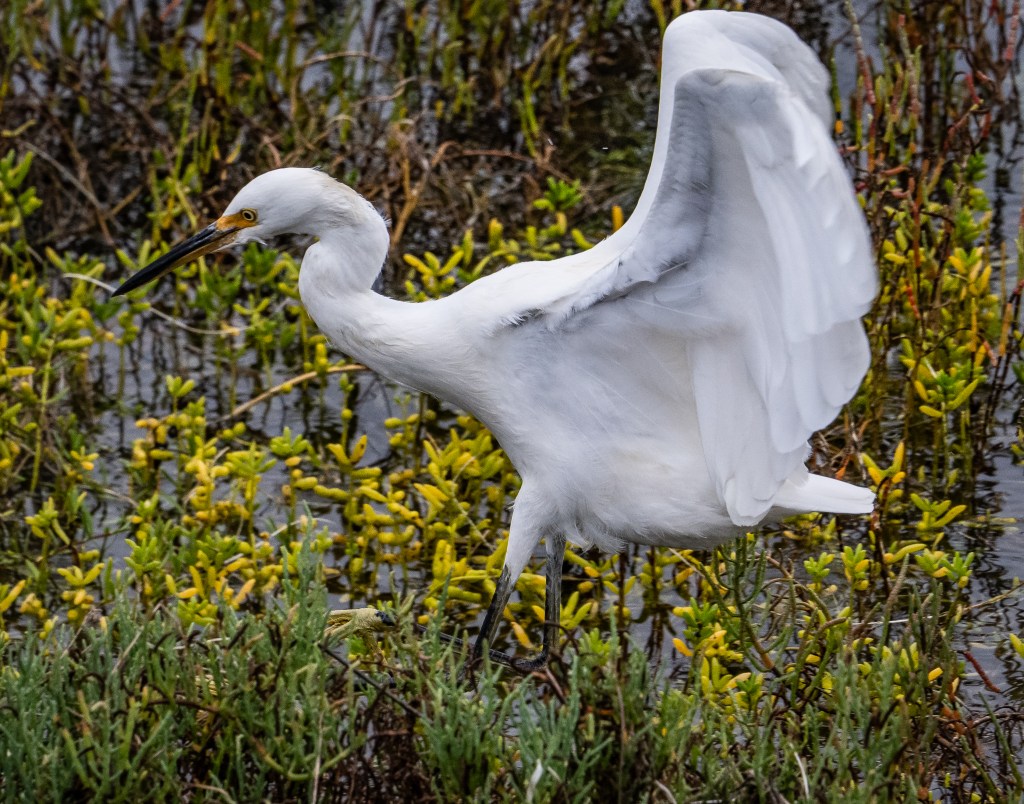
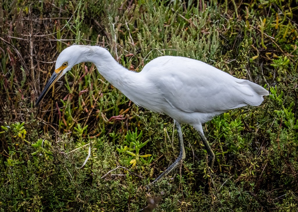
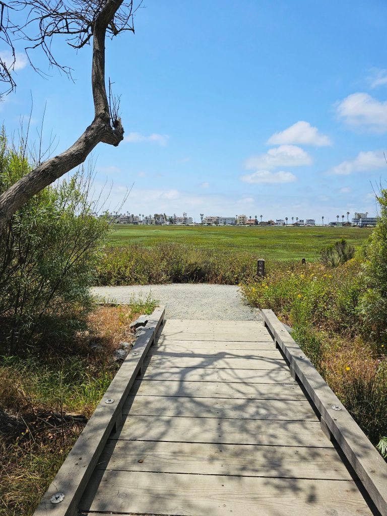
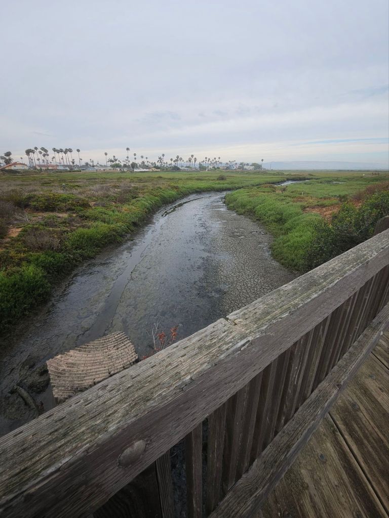
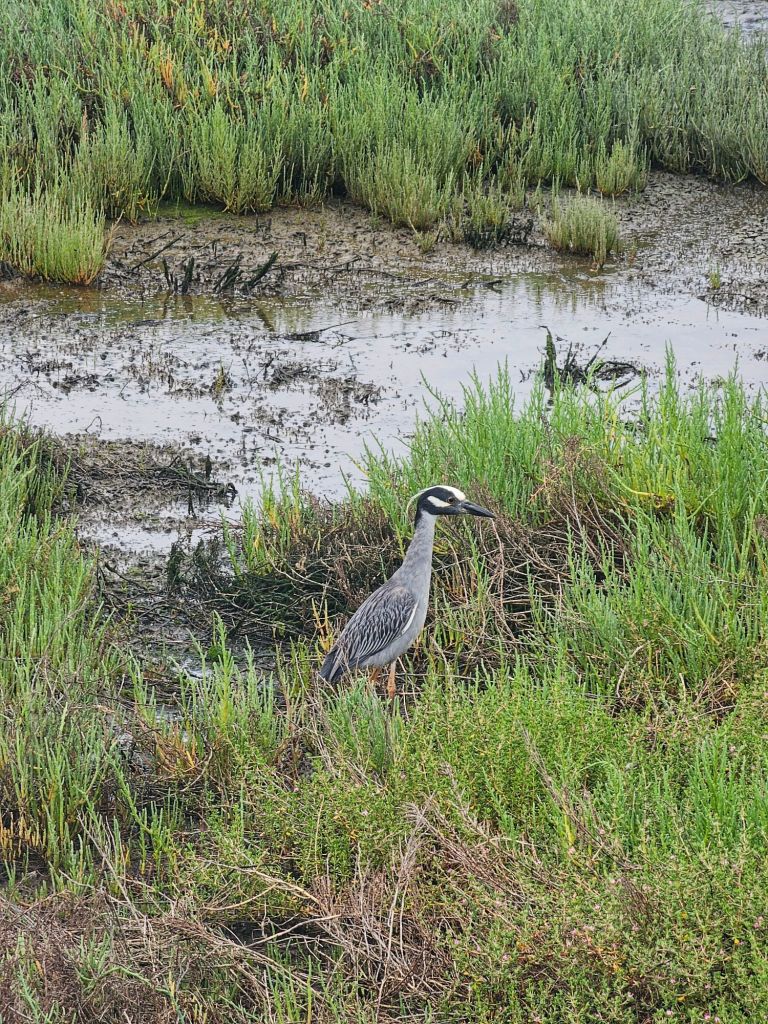
As you walk the trails, you’ll find yourself surrounded by a mosaic of marshes, mudflats, and salt flats—each teeming with life. Located along a massive aviary flyway over 370 species of birds have been recorded here, including the endangered light-footed Ridgway’s rail and least tern. Birdwatchers, bring your binoculars!
Trails, Views, and Tranquility
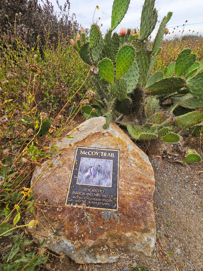
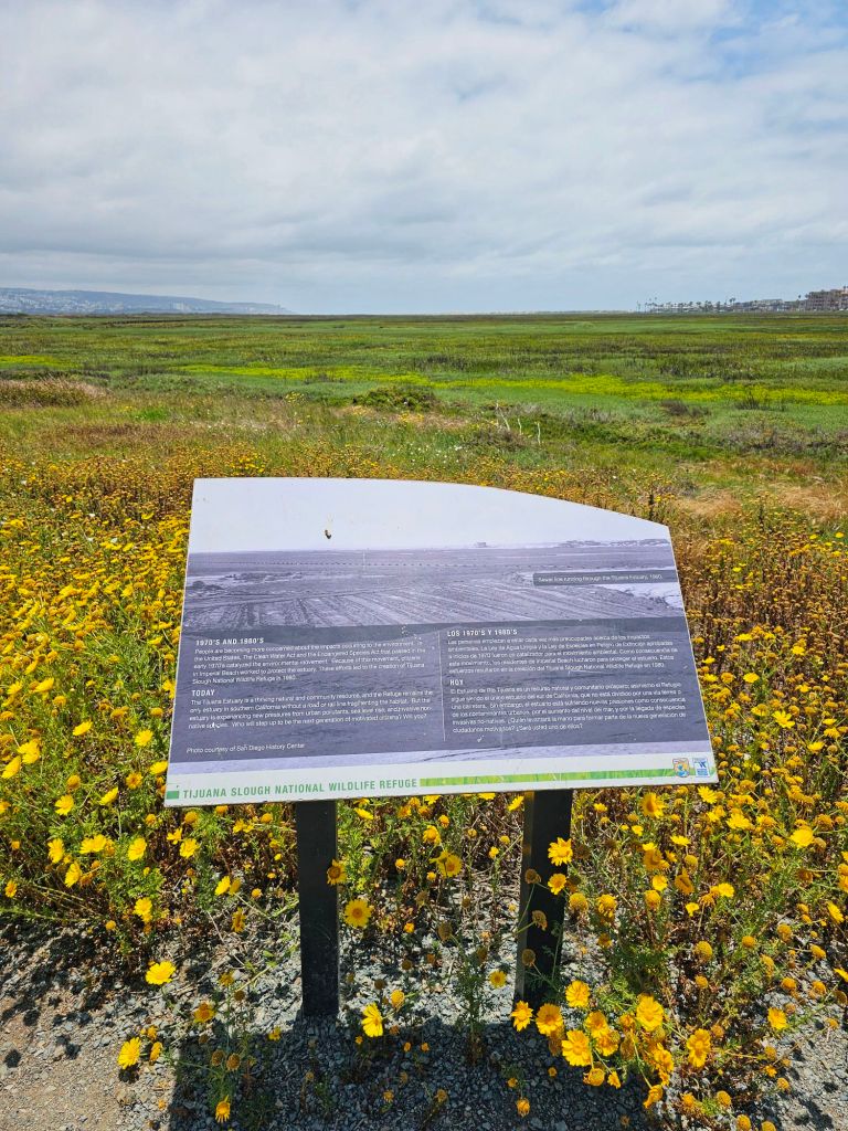
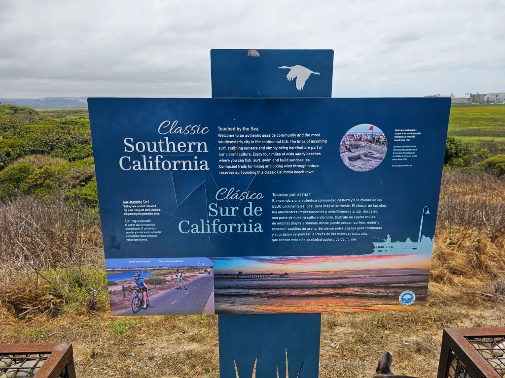
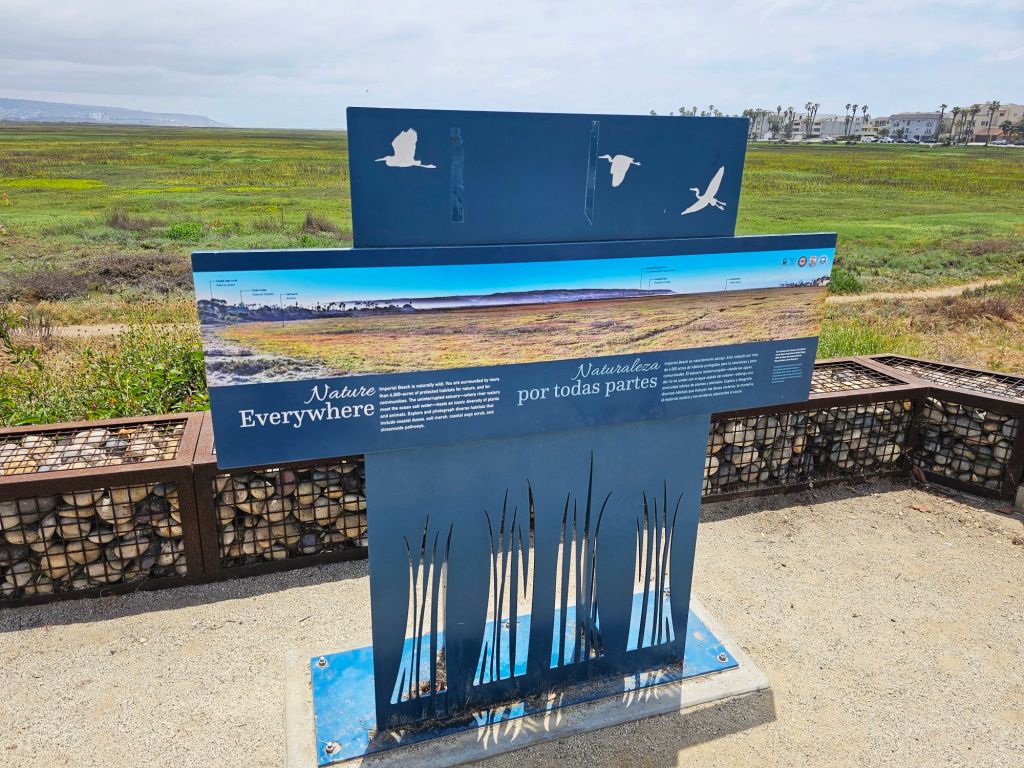
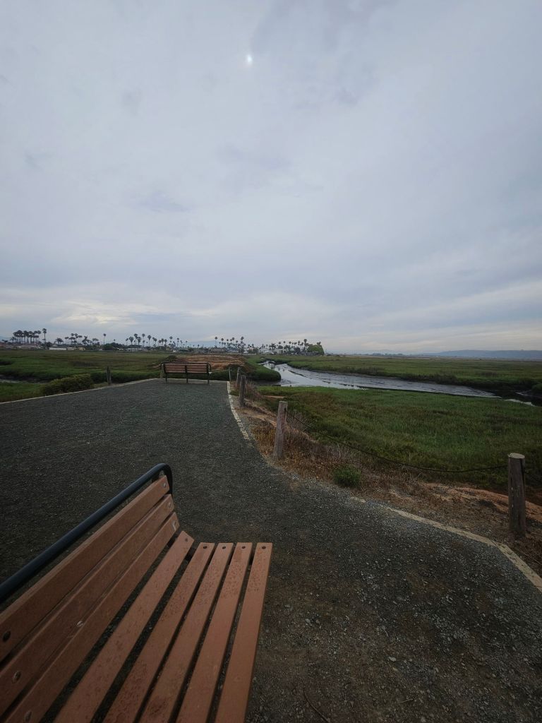
The Bayside Trail and River Mouth Trail offer easy, flat hikes with stunning views of the wetlands and the Pacific Ocean beyond. Interpretive signs along the way tell the story of the estuary’s ecology, history, and the ongoing efforts to protect it.
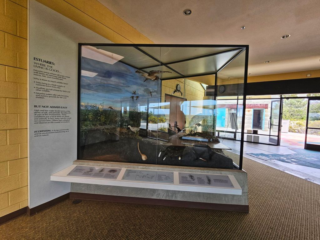
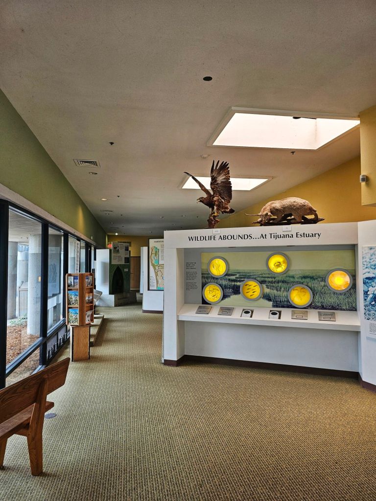
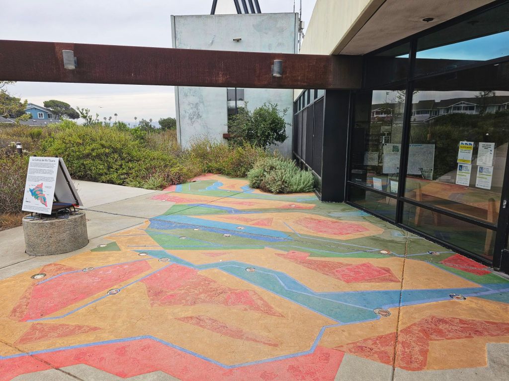
Don’t forget to stop by the Tijuana Estuary Visitor Center—a small but informative hub with exhibits, maps, and knowledgeable staff who can help guide your visit.
A Cross-Border Story
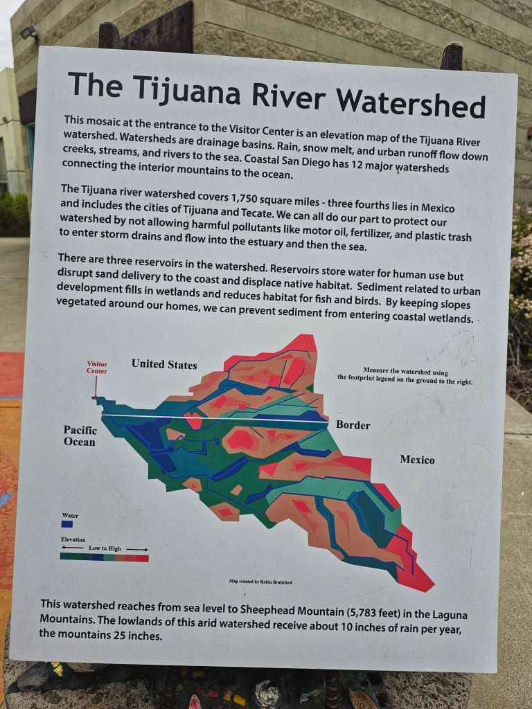
What makes the Tijuana River Estuary truly unique is its binational character. The Tijuana River originates in Mexico, flowing through the bustling city of Tijuana before crossing the U.S. border and emptying into the Pacific Ocean. Along the way, it faces challenges like pollution and urban runoff—but also inspires collaboration and conservation across borders.
Why It Matters
Estuaries like this one are among the most productive ecosystems on Earth. They provide nursery grounds for fish, shelter for birds, and natural flood control for communities. In a time of climate change and habitat loss, places like the Tijuana River Estuary remind us of nature’s resilience—and our responsibility to protect it.
Plan Your Visit
Whether you’re a birder, hiker, photographer, or simply seeking a quiet moment in nature, the Tijuana River Estuary is worth a visit. Come for the peaceful views, stay for the deeper connection to a landscape that quietly sustains life in so many ways.